Cataloged map
Eisenerz, Wildalpe und Aflenz.

Full title:Eisenerz, Wildalpe und Aflenz.
Depicted:1914
Physical Size:20 x 30 cm
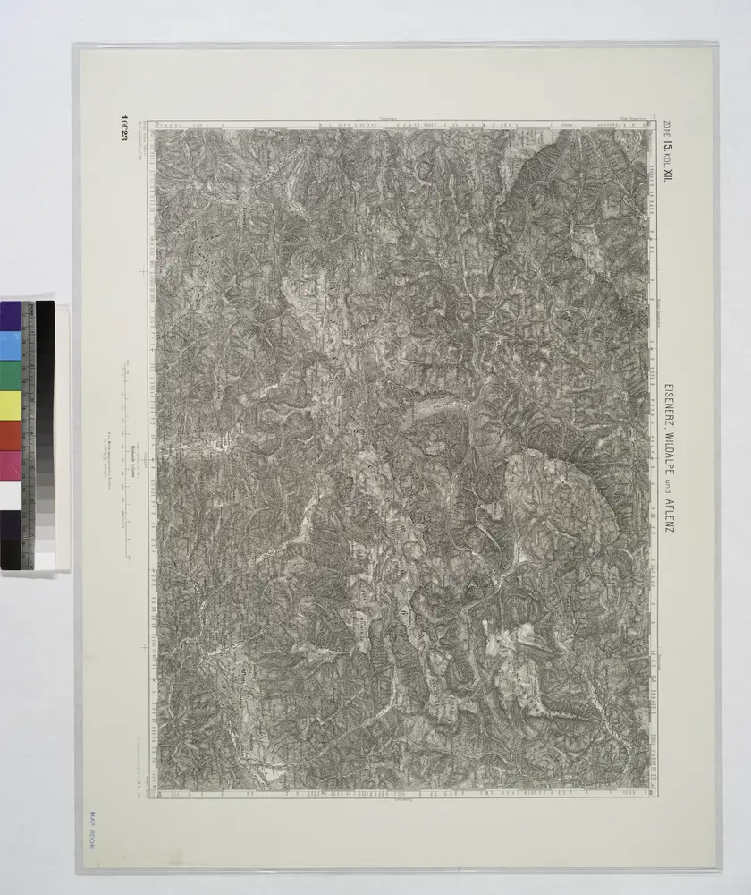
Eisenerz, Wildalpe und Aflenz.
1914
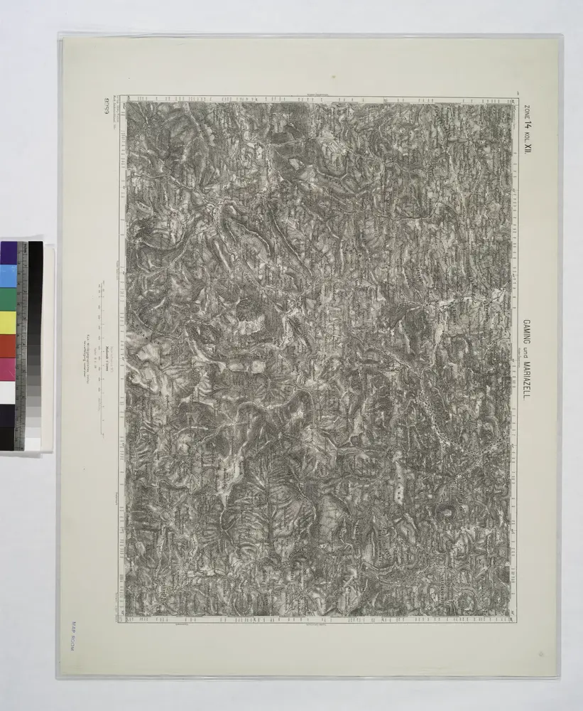
Gaming und Mariazell.
1914
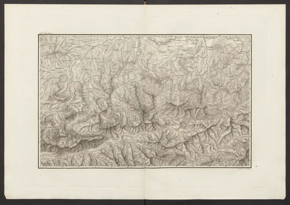
Der œstliche Theil von Obersteyermark oder der Brucker Kreis
1792
Kindermann; Miller; Junker
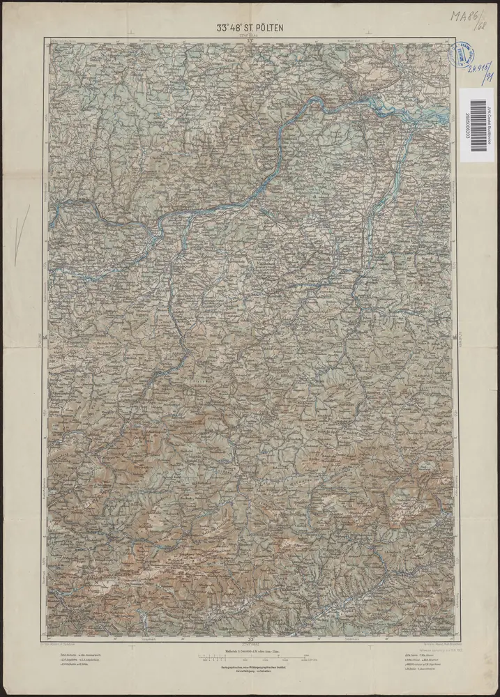
33°48° St. Pölten / K.u.k. Militärgeographisches Institut
1922
K.u.k. Militärgeographisches Institut
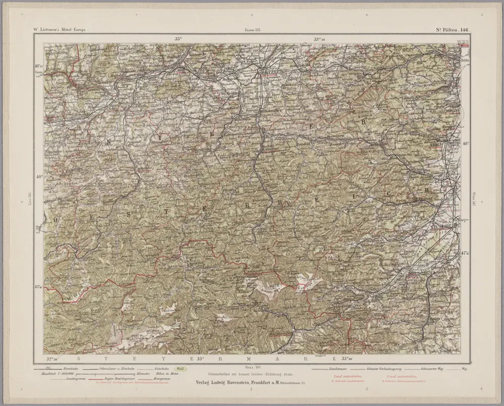
St. Pölten 146, uit: Special-Karte von Mittel-Europa / nach amtlichen Quellen bearbeitet von W. Liebenow
1899
Johannes Wilhelm Liebenow 1822-1897
1:300k
Militair Karte von Süd-Deutschland in 20 Sectionen
1818
Coulon, Alois von
1:400k
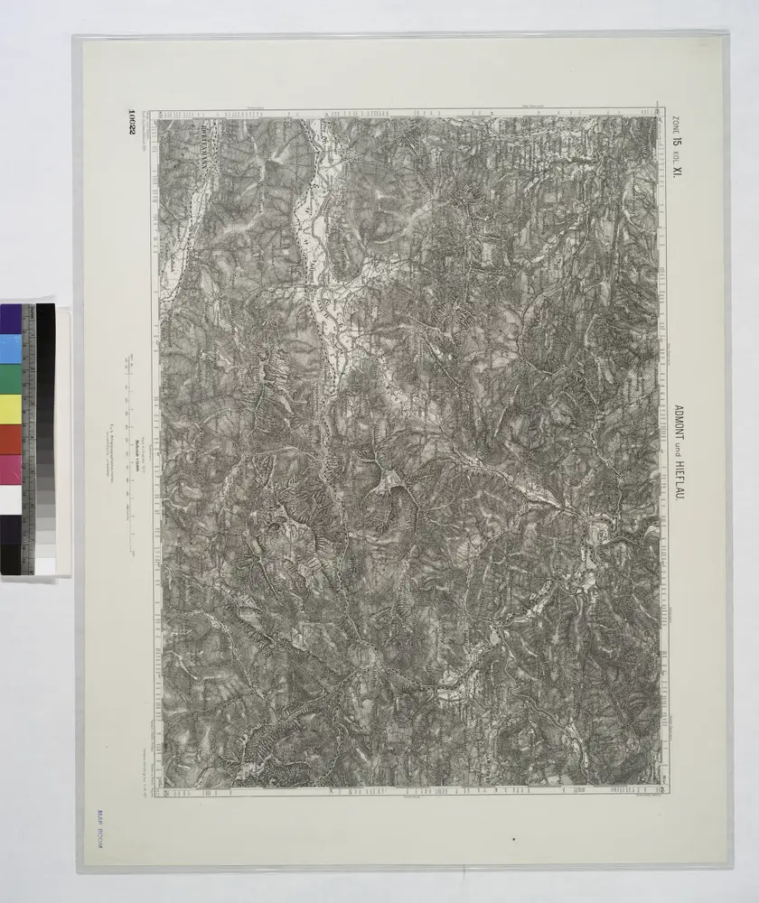
Admont und Hieflau.
1914

Neuer Atlas Uber die Gantze Welt, mapa ze strany: [119]
1714
Homann Johann Baptist
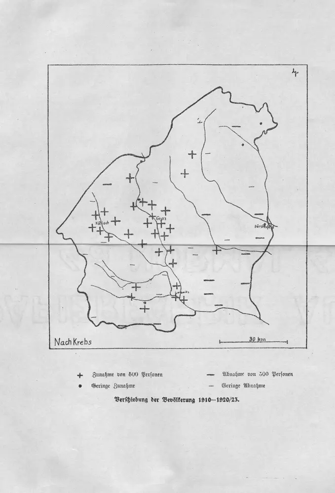
Verschiebung der Bevölkerung 1910-1920/23
1923
Stiria
1630
Mercator; Hondius
Stiria
1589
Mercator