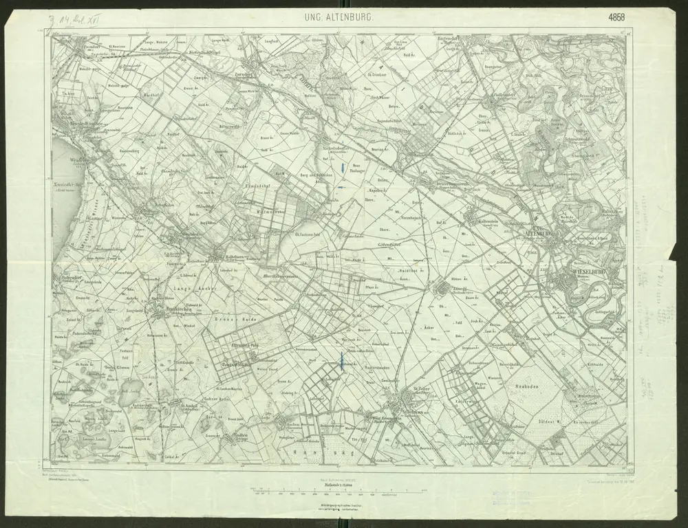
1914
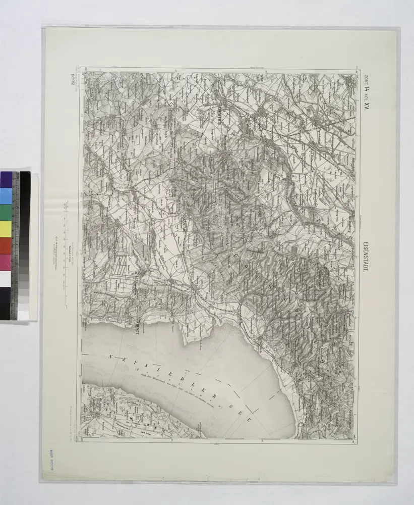
1912
Geripp: Leutn. Kimlein. Terrain: Leutn. Sachs
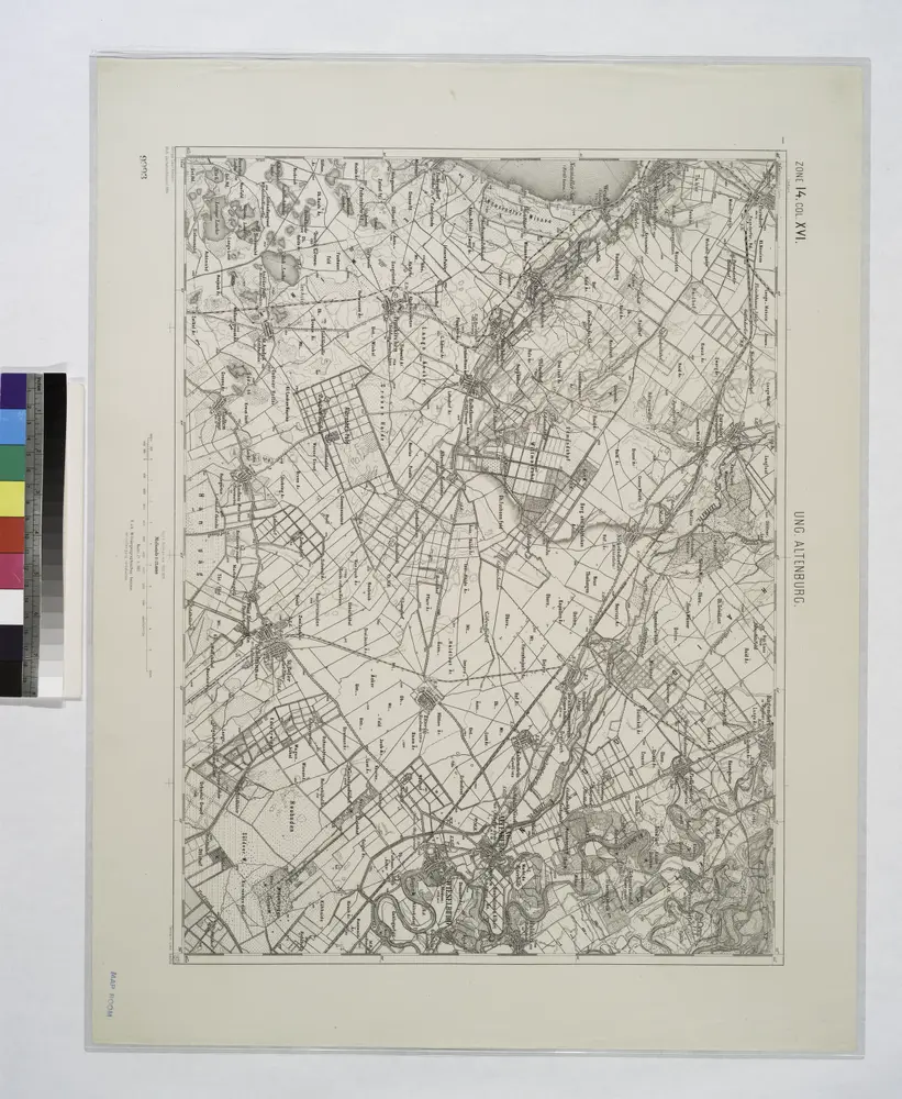
1:75k
1804
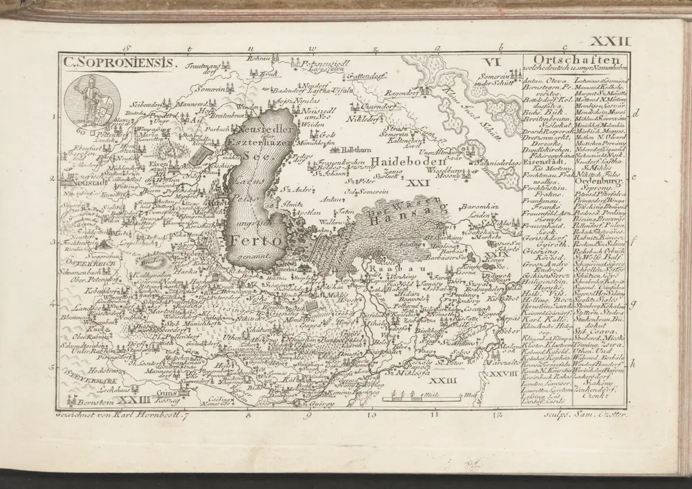
1870
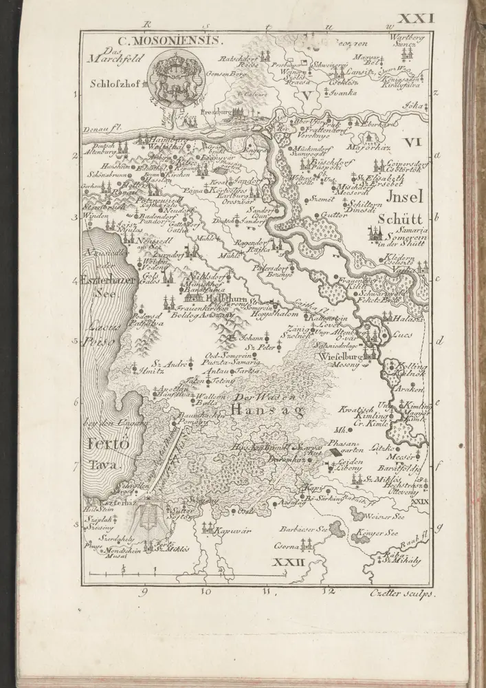
1:280k
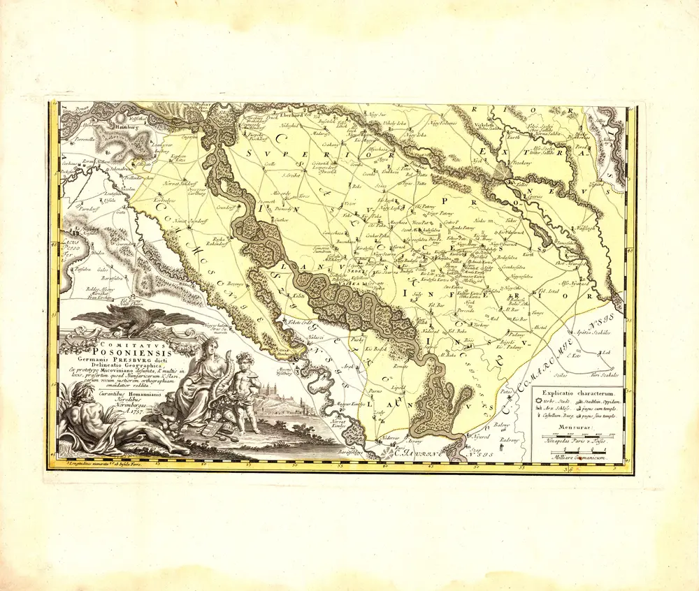
1757
Mikoviny, Sámuel