Cataloged map
Kuty (Galizien).

Full title:Kuty (Galizien).
Depicted:1914
Physical Size:20 x 30 cm

Kuty (Galizien).
1914
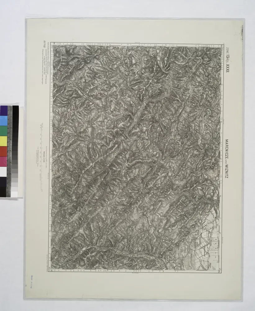
Marenicze und Wiznitz.; Spezialkarte der osterreichisch-ungarischen Monarchie.
1912
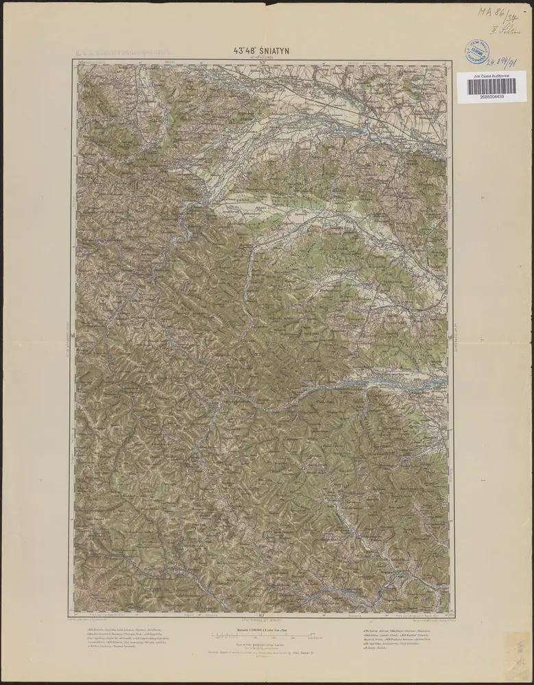
43°48° Śniatyn / K.u.k. militär-geographisches Institut
1890
K.u.k. militär-geographisches Institut
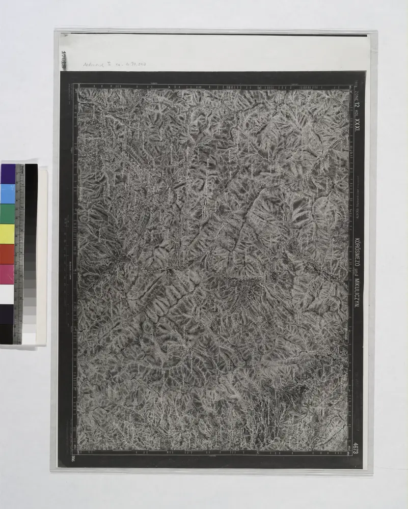
Korosmezo und Mikuliczyn.
1914
n/a
1800
n/a
1800
Ukrainae pars quae Pokutia vulgo dicitur / per Guil. le Vasseur de Beauplan S. R. M. Poloniae archit
1700
Beauplan, Guillaume le Vasseur de
1:310k
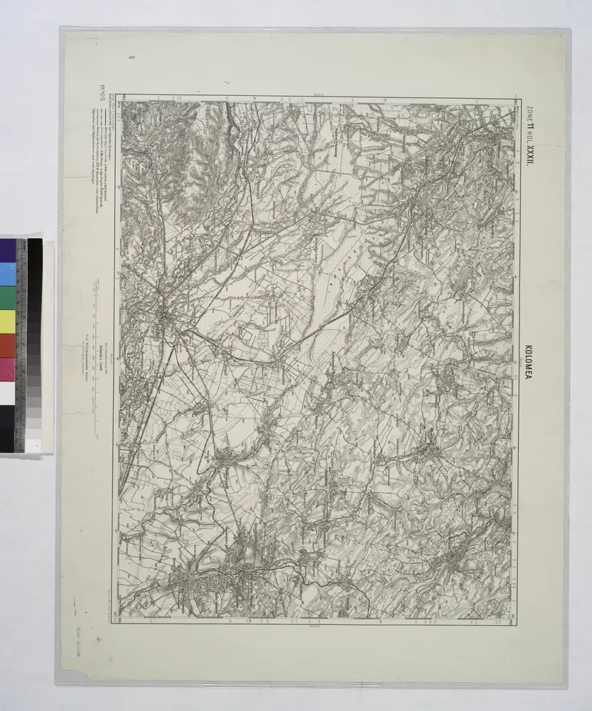
Kolomea (Galizien).
1914
Bukowina oder oestreich'scher Antheil der Moldau
1818
Küstel, Aloys J.
1:580k
n/a
1804