Mappa catalogata
Berezna und Szinever.

Titolo completo:Berezna und Szinever.
Anno di illustrazione:1914
Dimensione fisica:20 x 30 cm
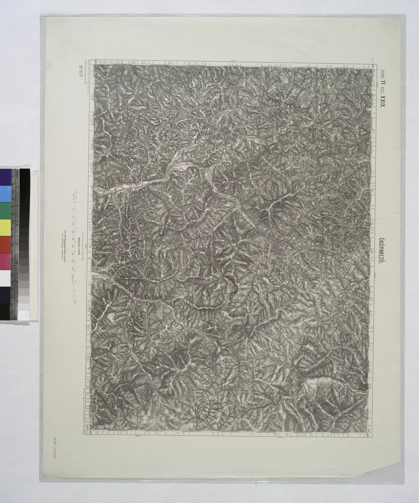
Okormezo (Galizien).
1914
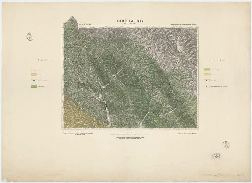
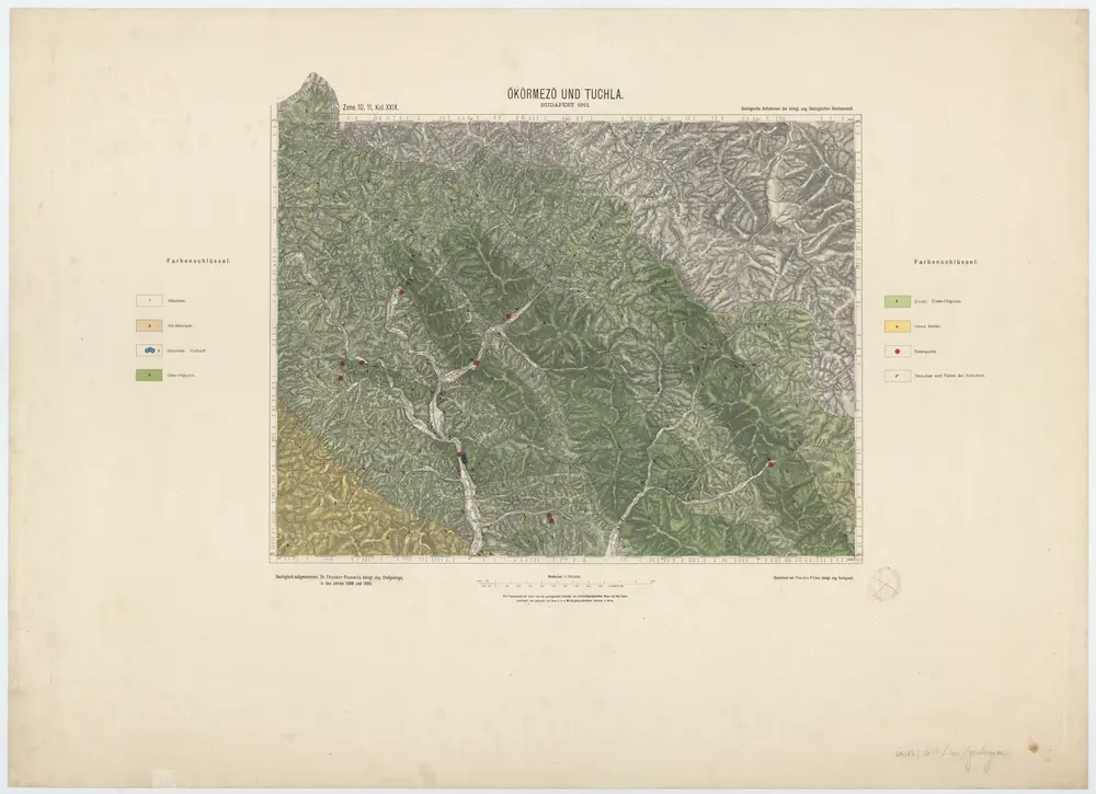
Zone 10, 11, Kol. XXIX, Ökörmezö und Tuchla, uit: [Geologische Specialkarte der im Reichsrathe vertretenen Königreiche und Länder der österreichisch-ungarischen Monarchie] / geologische Aufnahmen der königl. ung. Geologischen Anstalt
1889
Königliche Ungarische Geologische Reichsanstalt; Königliche Ungarische Geologische Anstalt
1:75k
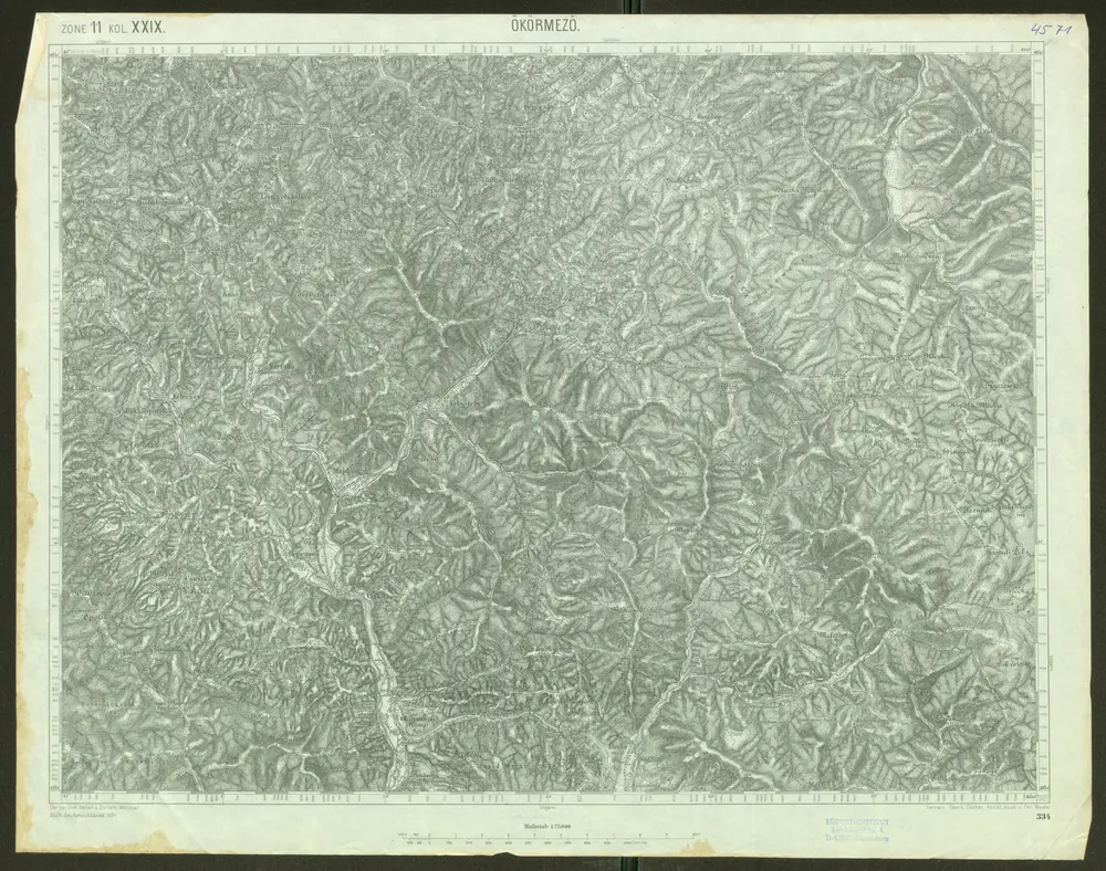
Ökörmező
1904
Geripp: Fwk. Heller u. Zivilarb. Melichar. Terrain: Oberlt. Fischer, Assist. Hauk u. Fhr. Wache
1:75k
Zone 10, 11, Kol. XXIX, Ökörmezö und Tuchla, uit: [Geologische Specialkarte der im Reichsrathe vertretenen Königreiche und Länder der österreichisch-ungarischen Monarchie] / geologische Aufnahmen der königl. ung. Geologischen Anstalt
1889
Königliche Ungarische Geologische Reichsanstalt; Königliche Ungarische Geologische Anstalt
1:75k
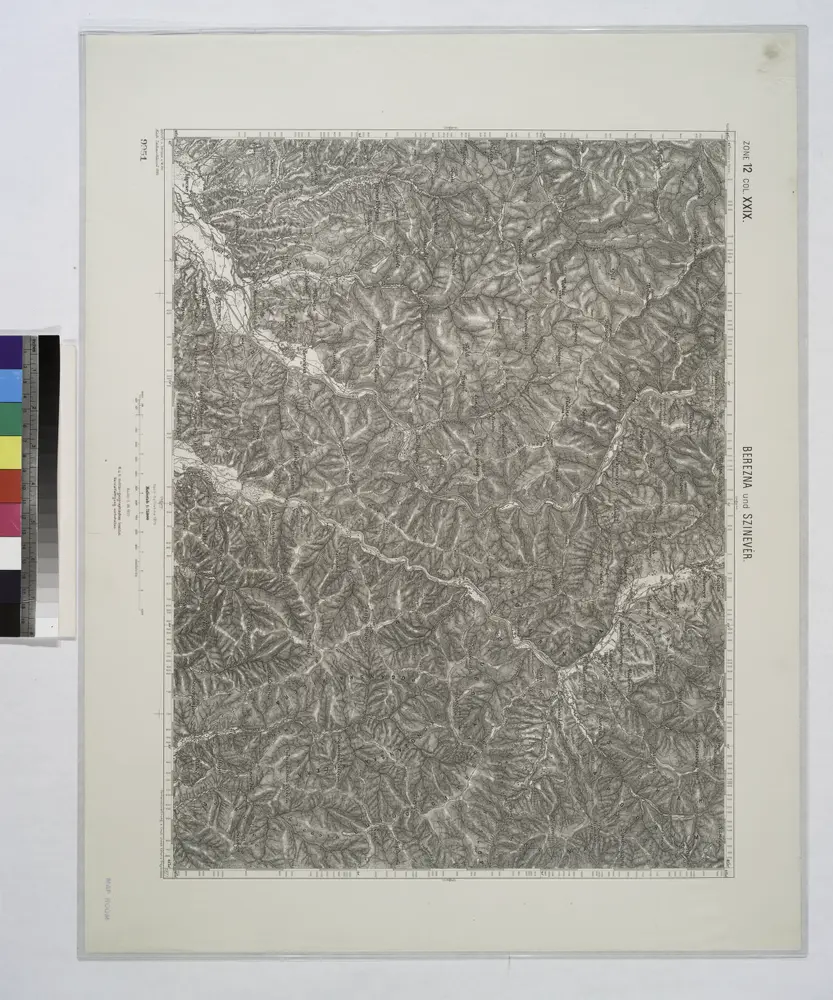
Berezna und Szinever.
1914
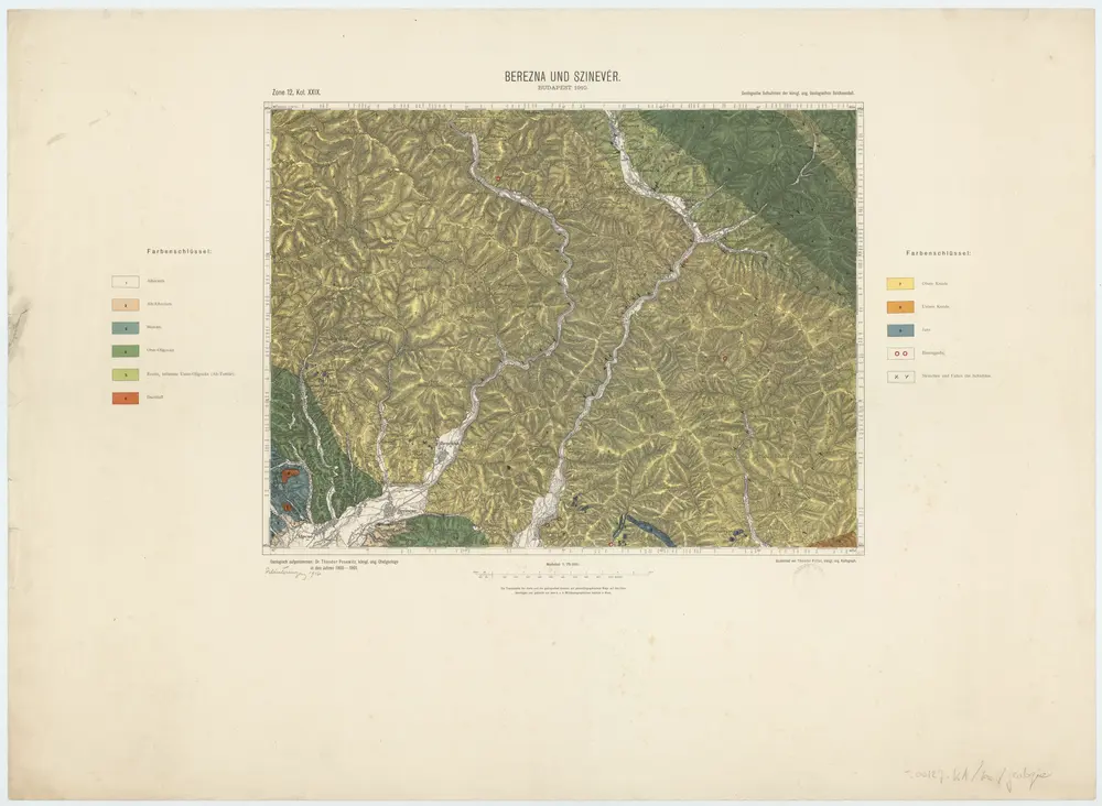
Zone 12, Kol. XXIX, Berezna und Szinevér, uit: [Geologische Specialkarte der im Reichsrathe vertretenen Königreiche und Länder der österreichisch-ungarischen Monarchie] / geologische Aufnahmen der königl. ung. Geologischen Anstalt
1889
Königliche Ungarische Geologische Reichsanstalt; Königliche Ungarische Geologische Anstalt
1:75k
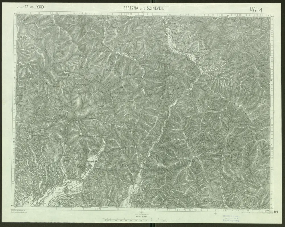
Berezna und Szinevér
1907
Schrift u. Gerippe v. W. Ahl. Terrainschraffirung v. Lieut. Jonak Edler v. Freyenwald
1:75k
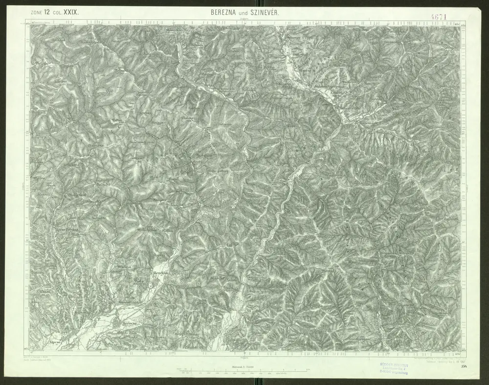
Berezna und Szinevér
1910
Schrift u. Gerippe v. W. Ahl. Terrainschraffirung v. Lieut. Jonak Edler v. Freyenwald
1:75k
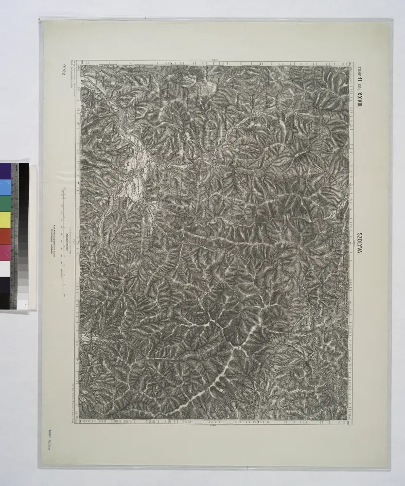
Szolyva.
1914
A Kalocsai m. kir. erdögondnokság A és B üzemosztályának átnézeti térképe
1926
Klösz Gy. és fia
1:23k