Gecatalogiseerde kaart
Kamieniec Podolski.

Volledige titel:Kamieniec Podolski.
Jaar illustratie:1914
Fysieke grootte:20 x 30 cm
n/a
1800
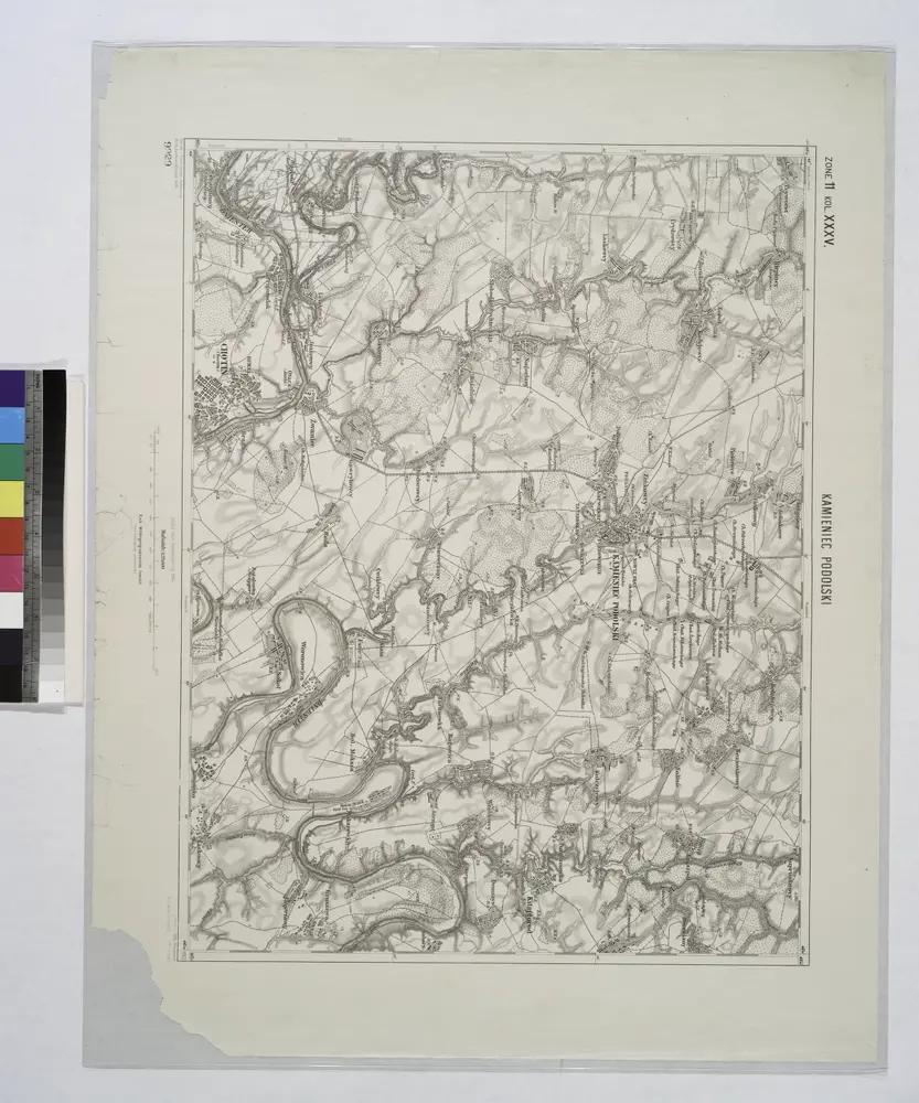
Kamieniec Podolski.
1914
[Bodolien, Moldawien]
1790
[Trattner]
Ukrainae pars, quae Podolia palatinatus vulgo dicitur / per Guil. le Vasseur de Beauplan s. r. m.tis
1650
Beauplan, Guillaume le Vasseur de
1:420k
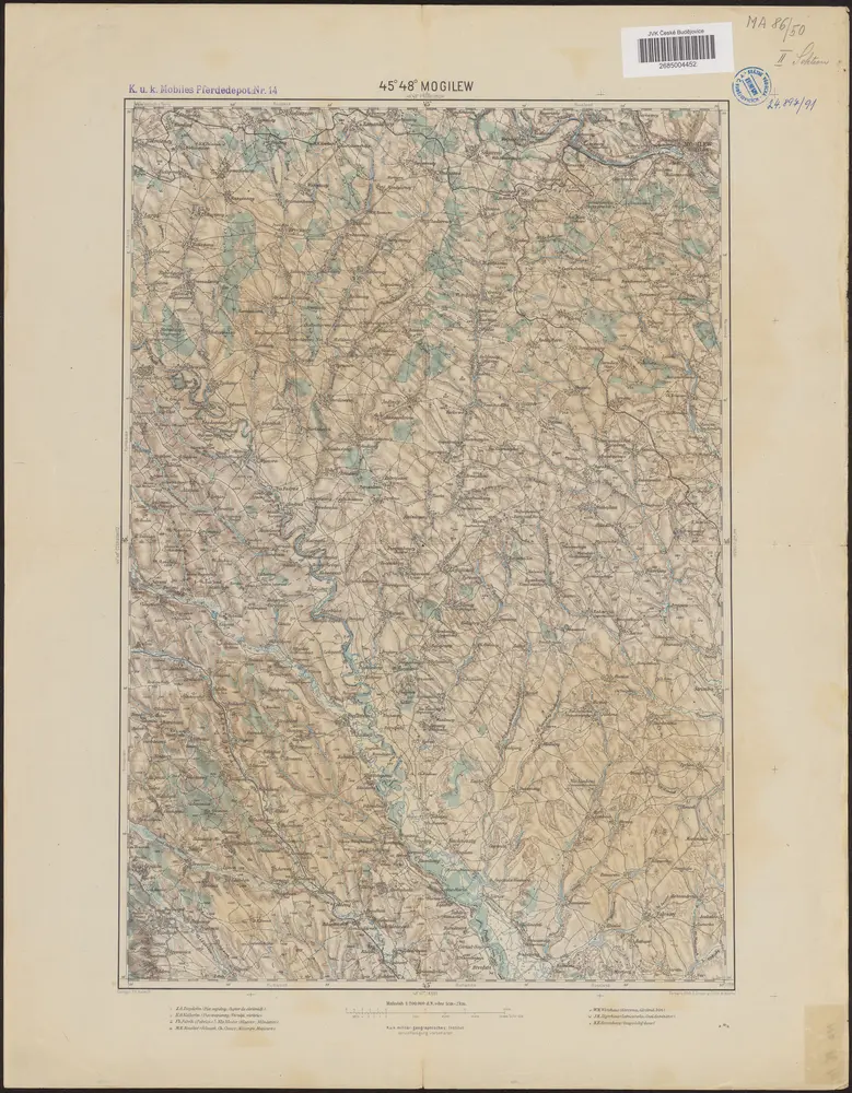
45°48° Mogilew / K.u.k. militär-geographisches Institut
1899
K.u.k. militär-geographisches Institut
n/a
1800
Lambert-Cholesky sheet 4586 (Rădăuţi)
1923
Serviciul Geografic al Armatei
1:20k
Tarnopol, Brody, Stryj, Czernowitz
1918
K. u. k. Militärgeographisches Institut
1:750k
Tarnopol, Brody, Stryj, Czernowitz
1918
K. u. k. Militärgeographisches Institut
1:750k
Tarnopol, Brody, Stryj, Czernowitz
1892
K. u. k. militär-geographisches Institut
1:750k