Cataloged map
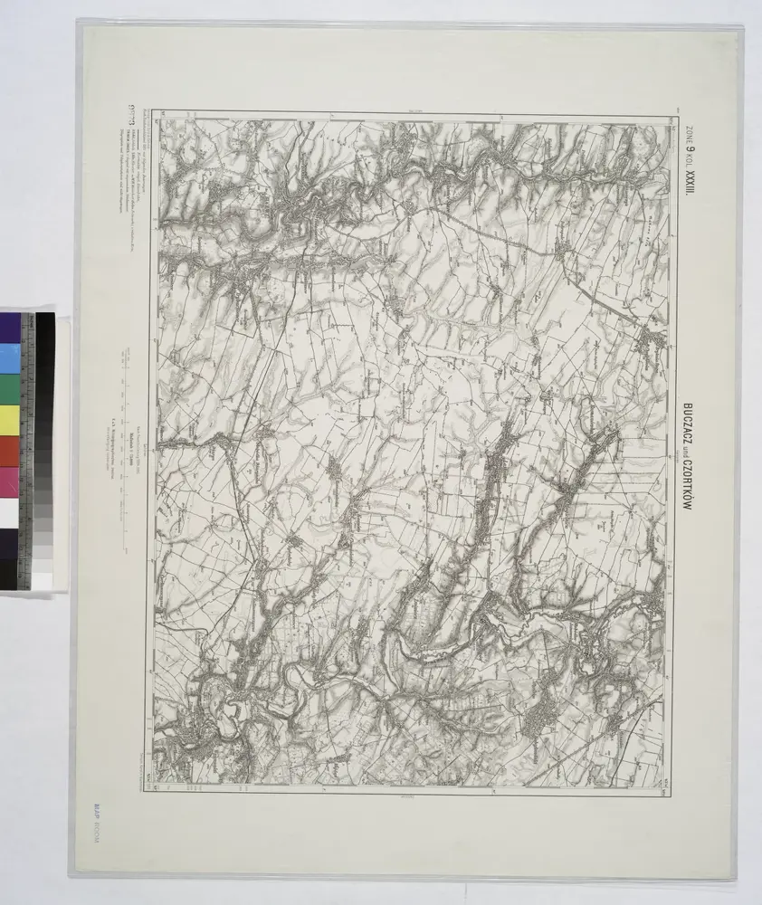
Buczacz und Czortkow.

Full title:Buczacz und Czortkow.
Depicted:1914
Physical Size:20 x 30 cm
Buczacz und Czortkow.
1914
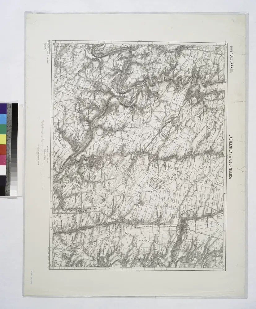
Jagielnica und Czernelica.
1914
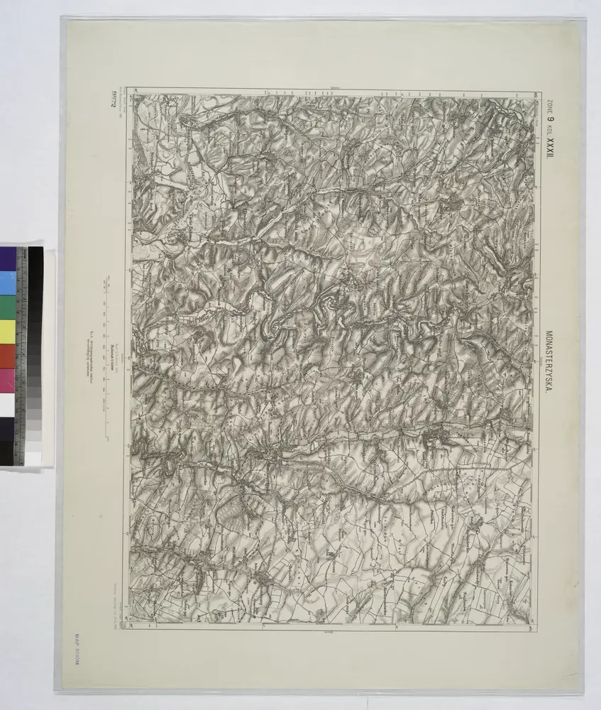
Monasterzyska.
1914
n/a
1800
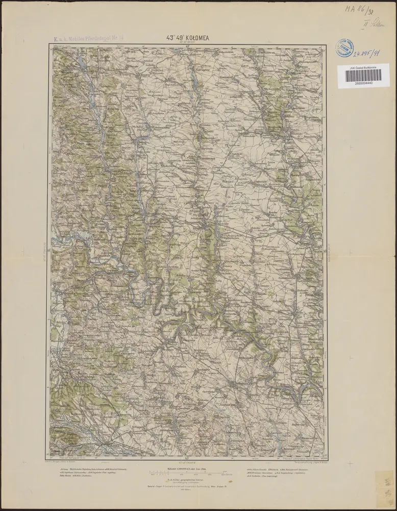
43°49° Kolomea / K.u.k. militär-geographisches Institut
1889
K.u.k. militär-geographisches Institut

Tysmienica und Tlumacz.
1914
Ukrainae pars quae Pokutia vulgo dicitur / per Guil. le Vasseur de Beauplan S. R. M. Poloniae archit
1700
Beauplan, Guillaume le Vasseur de
1:310k
Ukrainae pars, quae Podolia palatinatus vulgo dicitur / per Guil. le Vasseur de Beauplan s. r. m.tis
1650
Beauplan, Guillaume le Vasseur de
1:420k
[Bukowina, Galizien]
1790
[Trattner]
Trembowla (Galizien).
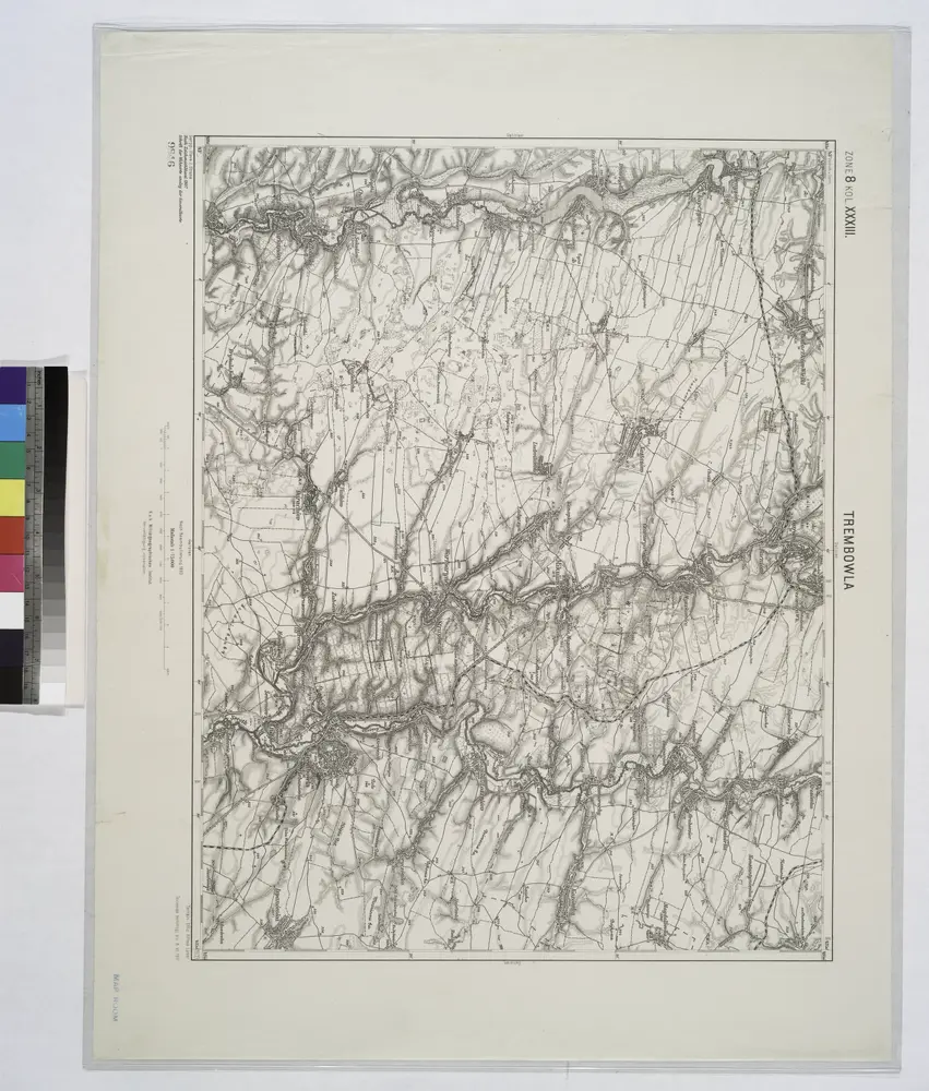
1914