Cataloged map
G. Meseritsch.

Full title:G. Meseritsch.
Depicted:1914
Physical Size:20 x 30 cm
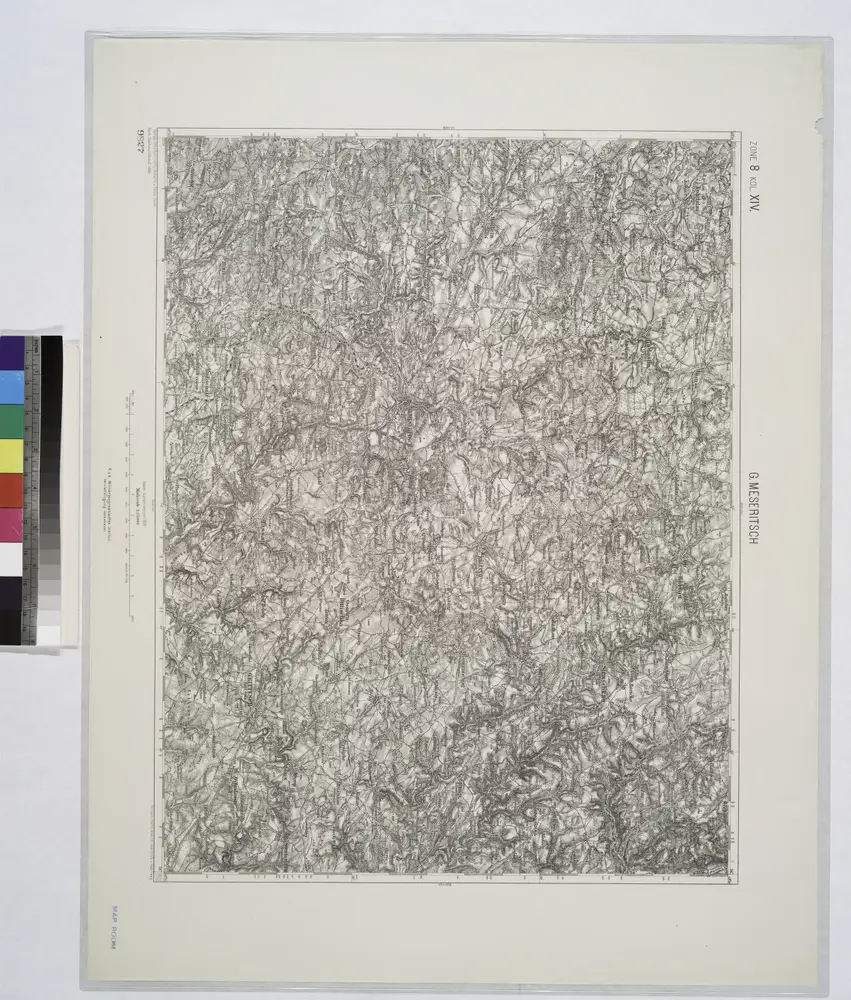
G. Meseritsch.
1914
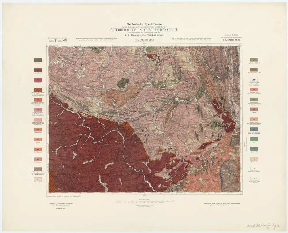
Zone 8, Col. XIV, G. Meseritsch, uit: Geologische Karte der im Reichsrathe vertretenen Königreiche und Länder der Österreich-Ungarischen Monarchie : auf Grundlage der Specialkarte i.M. 1:75.000 des k.u.k. Militär-geographischen Institutes / neu bearb. und als Kartenwerk von 341 Blattnummern in zwanglosen Lfg. hrsg. durch die k.k. Geologische Reichsanstalt in Wien
1898
Kaiserlich-Königliche Geologische Reichsanstalt, Wenen
1:75k
Geologische Spezialkarte der im Reichsrate vertretenen Königreiche und Länder der Österreichisch-Ungarischen Monarchie
1905
Suess, Franz Eduard
1:75k
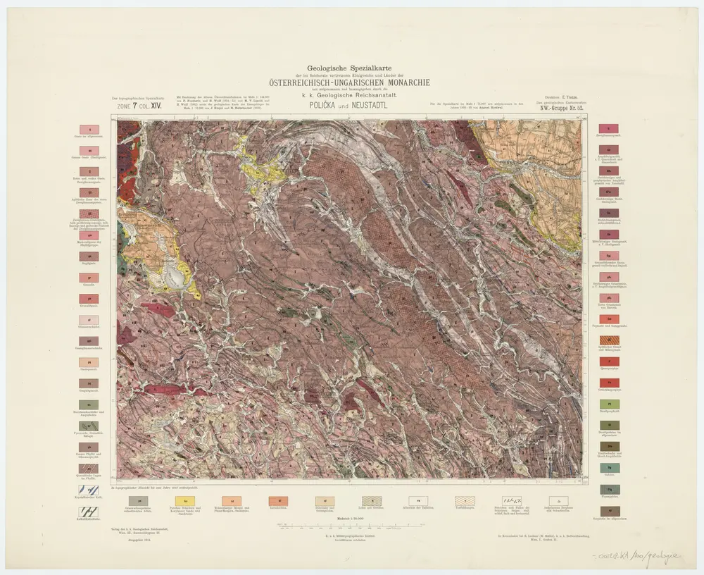
Zone 7, Col. XIV, Policka und Neustadtl, uit: Geologische Karte der im Reichsrathe vertretenen Königreiche und Länder der Österreich-Ungarischen Monarchie : auf Grundlage der Specialkarte i.M. 1:75.000 des k.u.k. Militär-geographischen Institutes / neu bearb. und als Kartenwerk von 341 Blattnummern in zwanglosen Lfg. hrsg. durch die k.k. Geologische Reichsanstalt in Wien
1898
Kaiserlich-Königliche Geologische Reichsanstalt, Wenen
1:75k
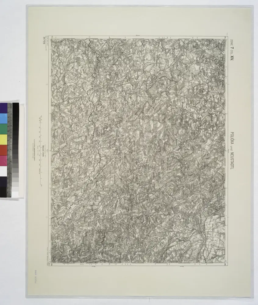
Policka und Neustadtl.; Spezialkarte der osterreichisch-ungarischen Monarchie.
1894
Geologische Spezialkarte der im Reichsrate vertretenen Königreiche und Länder der Österreichisch-Ungarischen Monarchie
1914
Rosiwal, August Karl
1:75k

Katalog map a publikací [Vojenského zeměpisného ústavu v Praze: květen 1936], mapa ze strany: [VI]
1936
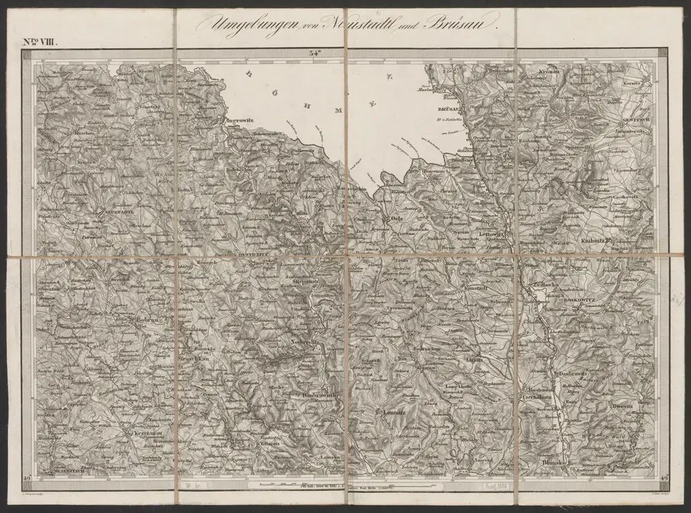
Umgebungen von Neustadtl und Brüsau
1869
K.K. Militärisches Geographisches Institut
1:144k
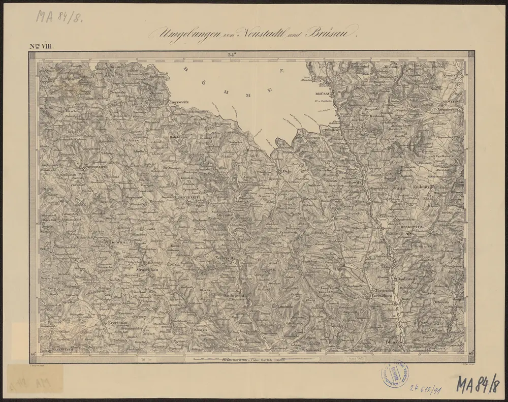
Umgebungen von Neustadtl und Brüsau
1869
K.K. Militaerischen Geographischen Institute
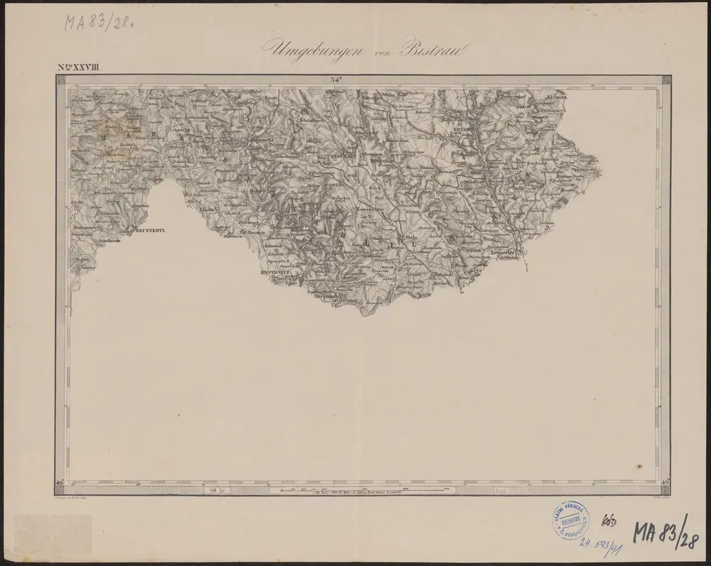
Umgebungen von Bistrau
1869
K.K. Militaerischen Geographischen Institute