Cataloged map
Crybow und Corlice.

Full title:Crybow und Corlice.
Depicted:1914
Physical Size:20 x 30 cm

Crybow und Corlice.
1914
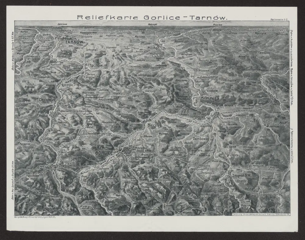
Reliefkarte Gorlice-Tarnów
1915
Verl. Gerhard Stalling, Oldenburg
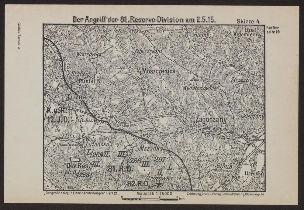
Der Angriff der 81. Reserve-Division am 2.5.15
1915
Verl. Gerhard Stalling, Oldenburg
1:75k
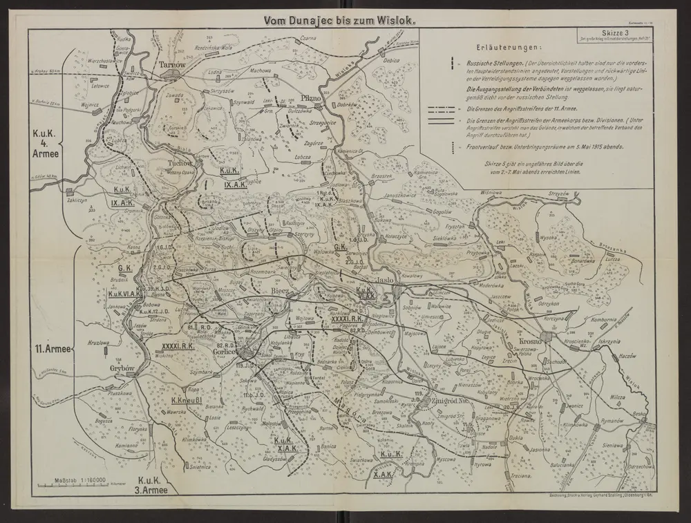
Vom Dunajec bis zum Wislok
1915
Verl. Gerhard Stalling, Oldenburg
1:160k

Bartfa und Muszyna.
1914
n/a
1800
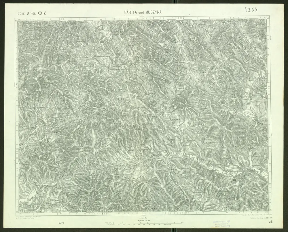
Bártfa und Muszyna
1914
Geripp: Assist. Scherling u. Offiz. Kostrba. Terrain: Oberoffiz. Terlikowski u. Oberlt. Boltek
1:75k
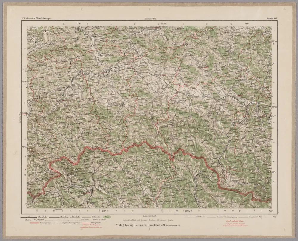
Sanok 108, uit: Special-Karte von Mittel-Europa / nach amtlichen Quellen bearbeitet von W. Liebenow
1899
Johannes Wilhelm Liebenow 1822-1897
1:300k
Comitat Sáros
1870
1:290k
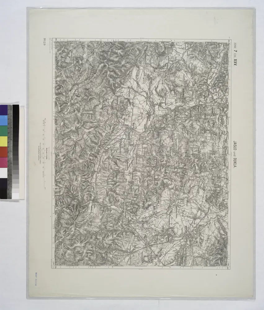
Jaslo und Dukla.
1914