Mappa catalogata
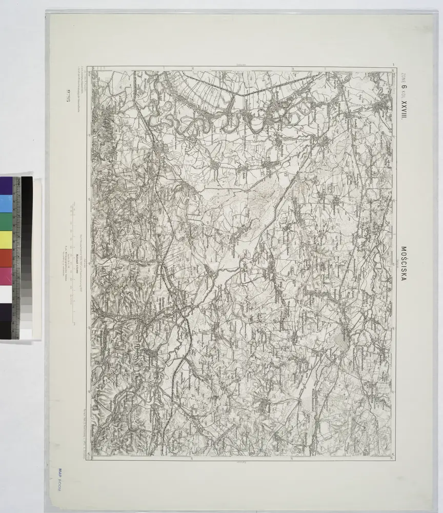
Mosciska.

Titolo completo:Mosciska.
Anno di illustrazione:1914
Dimensione fisica:20 x 30 cm
Mosciska.
1914
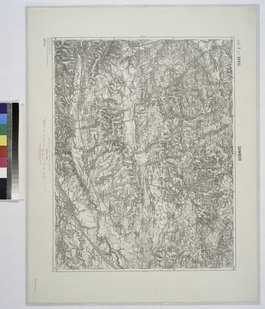
Sambor.
1914
n/a
1800
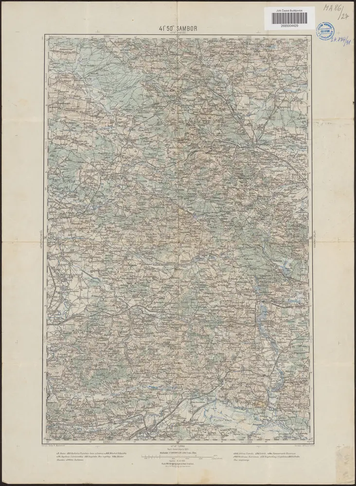
41°50° Sambor / K.u.k. Militärgeographisches Institut
1909
K.u.k. Militärgeographisches Institut
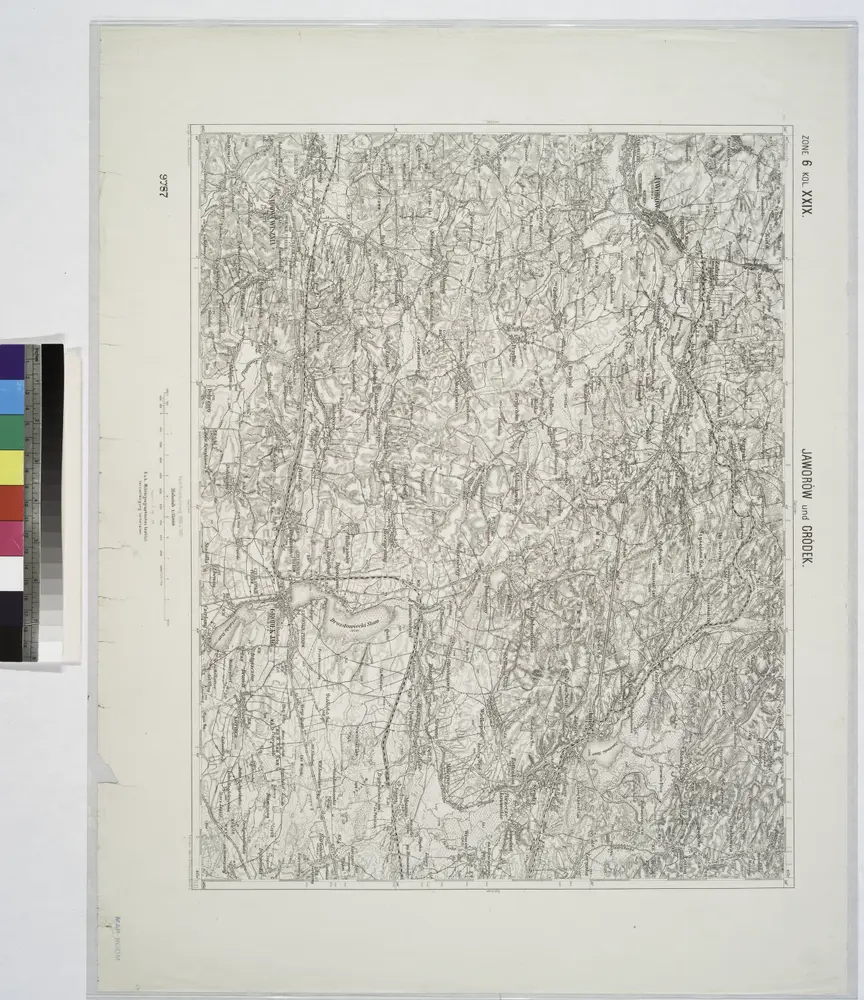
Jaworow und Crodek.
1914
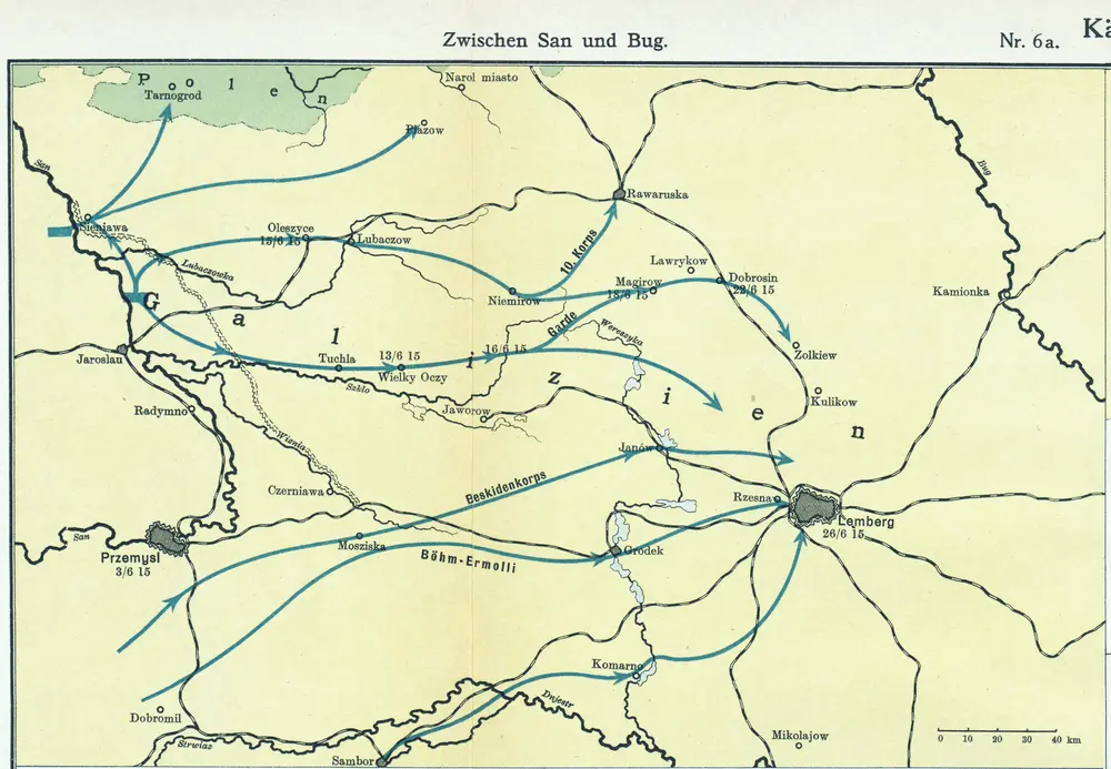
Nr. 6a. Kämpfe in Ostgalizien. Zwischen San und Bug
1915
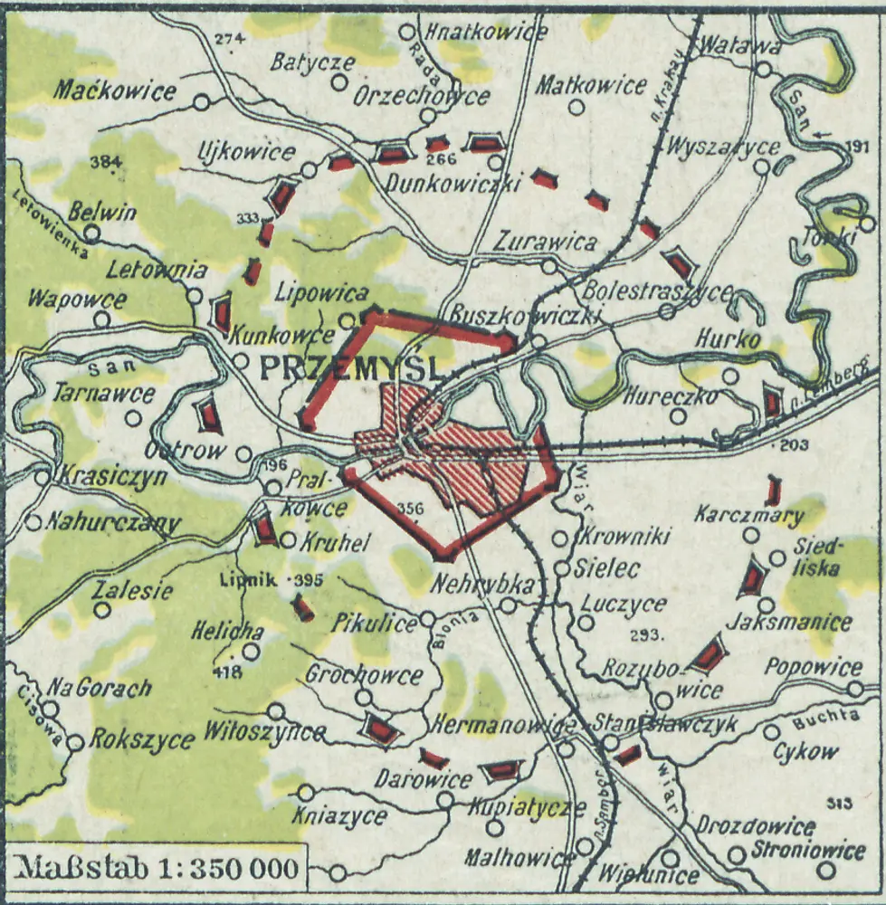
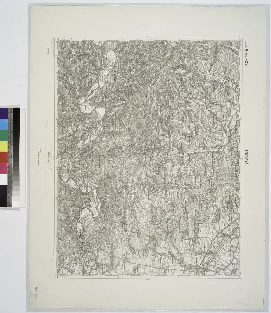
[Przemyśl]
1918
1:350k
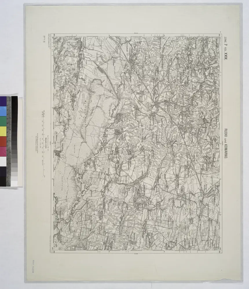
Rudki und Komarno.; Spezialkarte der osterreichisch-ungarischen Monarchie.
1911
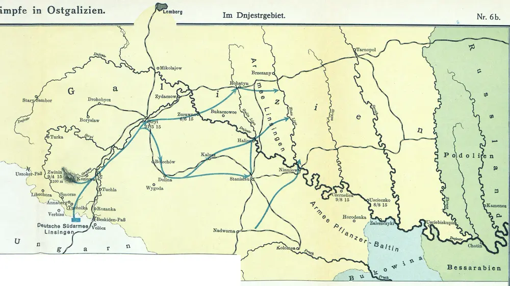
Nr. 6b. Kämpfe in Ostgalizien. Im Dnjestrgebiet
1915
Przemysl.
1914