Cataloged map
Lubaczow.

Full title:Lubaczow.
Depicted:1914
Physical Size:20 x 30 cm

Lubaczow.
1914
n/a
1800
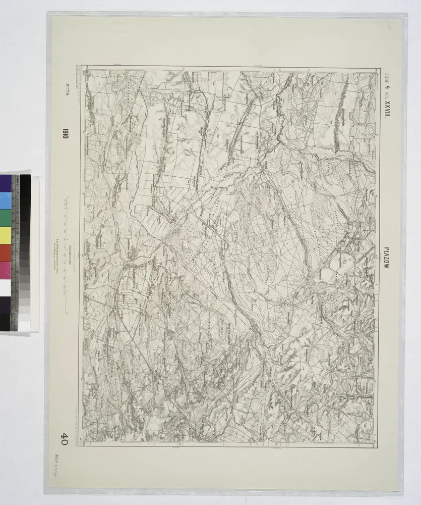
Plazow.; Spezialkarte der osterreichisch-ungarischen Monarchie.
1907
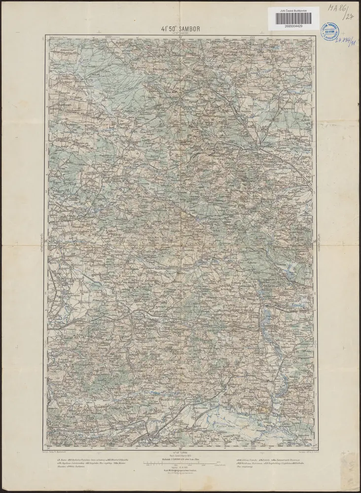
41°50° Sambor / K.u.k. Militärgeographisches Institut
1909
K.u.k. Militärgeographisches Institut
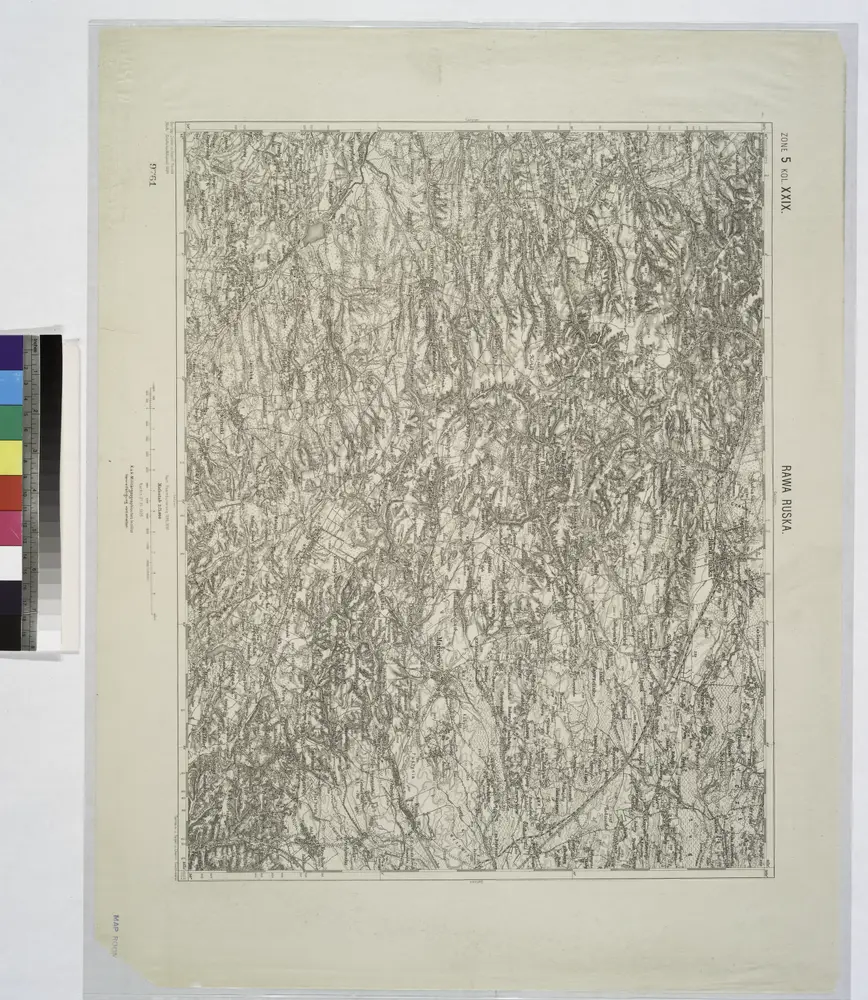
Rawa Ruska.
1914
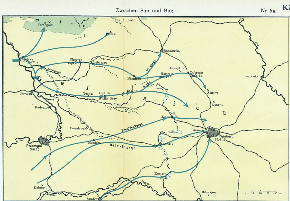
Nr. 6a. Kämpfe in Ostgalizien. Zwischen San und Bug
1915
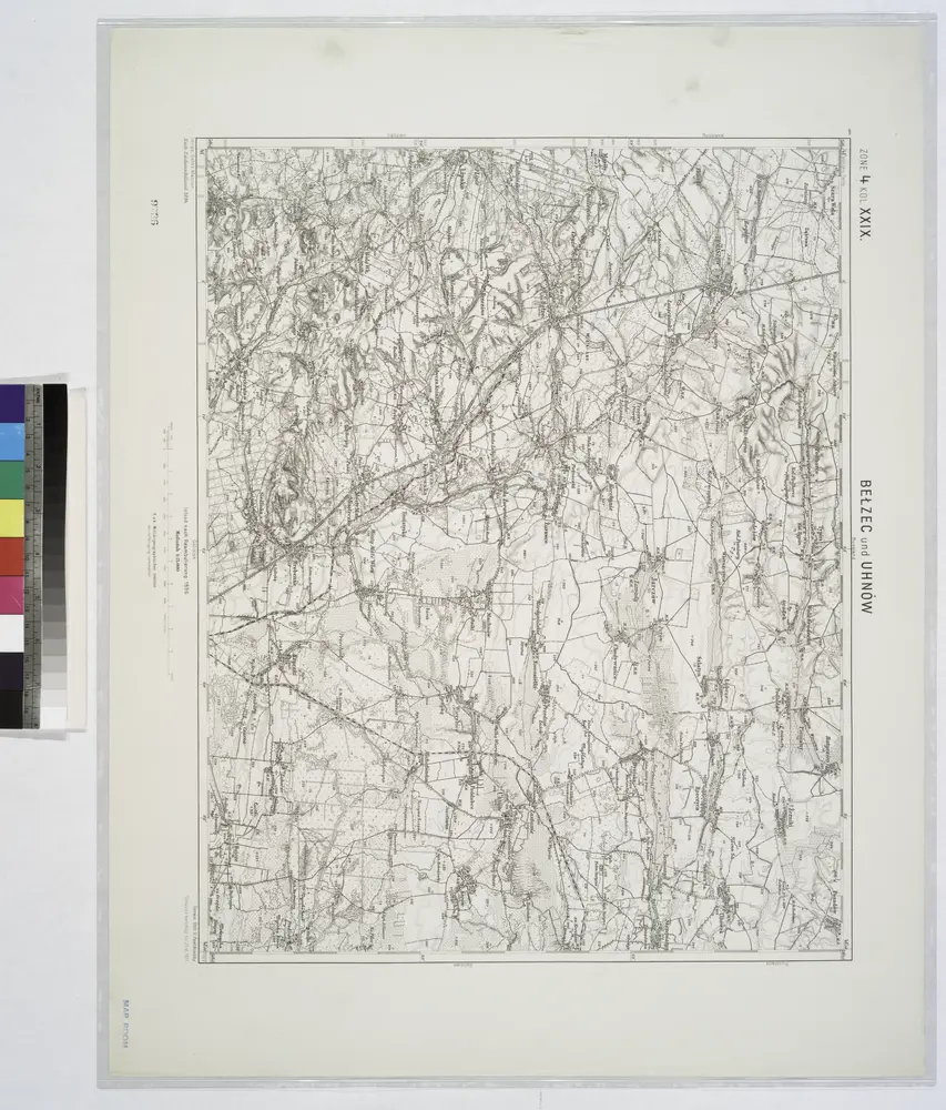
Belzec und Uhnow.; Spezialkarte der osterreichisch-ungarischen Monarchie.
1911
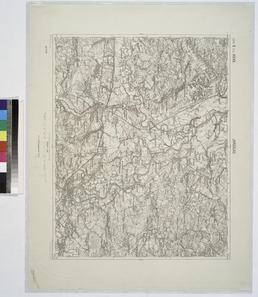
Jaroslau.
1914
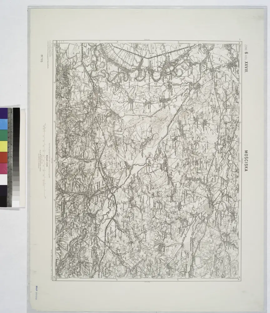
Mosciska.
1914
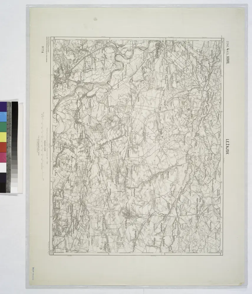
Lezajsk.
1914