Maps of Potůčky

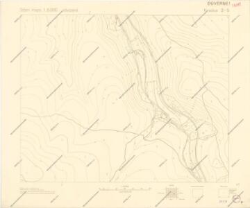
Státní mapa 1:5000 odvozená

Breitenbach - c6050-2-003 - Kaiserpflichtexemplar der Landkarten des stabilen Katasters
1 : 2880
Breitenbach - c6050-2-007 - Kaiserpflichtexemplar der Landkarten des stabilen Katasters
1 : 2880
Breitenbach - c6050-2-014 - Kaiserpflichtexemplar der Landkarten des stabilen Katasters
1 : 2880
Breitenbach - c6050-2-012 - Kaiserpflichtexemplar der Landkarten des stabilen Katasters
1 : 2880
Breitenbach - c6050-2-001 - Kaiserpflichtexemplar der Landkarten des stabilen Katasters
1 : 2880
Breitenbach - c6050-2-009 - Kaiserpflichtexemplar der Landkarten des stabilen Katasters
1 : 2880
Breitenbach - c6050-2-005 - Kaiserpflichtexemplar der Landkarten des stabilen Katasters
1 : 2880
Breitenbach - c6050-2-013 - Kaiserpflichtexemplar der Landkarten des stabilen Katasters
1 : 2880
Breitenbach - c6050-2-004 - Kaiserpflichtexemplar der Landkarten des stabilen Katasters
1 : 2880
Breitenbach - c6050-2-010 - Kaiserpflichtexemplar der Landkarten des stabilen Katasters
1 : 2880
Breitenbach - c6050-2-011 - Kaiserpflichtexemplar der Landkarten des stabilen Katasters
1 : 2880
Breitenbach - c6050-2-002 - Kaiserpflichtexemplar der Landkarten des stabilen Katasters
1 : 2880
Breitenbach - c6050-2-006 - Kaiserpflichtexemplar der Landkarten des stabilen Katasters
1 : 2880
Breitenbach - c6050-2-008 - Kaiserpflichtexemplar der Landkarten des stabilen Katasters
1 : 2880
Stadt Platten - c2013-1-001 - Kaiserpflichtexemplar der Landkarten des stabilen Katasters
1 : 2880
Stadt Platten - c2013-1-002 - Kaiserpflichtexemplar der Landkarten des stabilen Katasters
1 : 2880
Stadt Platten - c2013-1-003 - Kaiserpflichtexemplar der Landkarten des stabilen Katasters
1 : 2880
Státní mapa 1:5000 odvozená

Státní mapa 1:5000 odvozená
III. vojenské mapování 3849/2
1 : 25000
III. vojenské mapování 3849/2
1 : 25000
[Kartenblatt]
1 : 25000 Breitenbrunn (Německo) Reichsamt für Landesaufnahme

Státní mapa 1:5000

Soubor přehledných map pro plánování a statistiku: 3849 – Kraslice
Mapy plánování ČSR

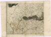
Müllerova mapa Čech
1 : 132000