Cataloged map
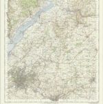
Bath & Bristol, Sheet 28 - Bartholomew's "Half Inch to the Mile Maps" of England & Wales
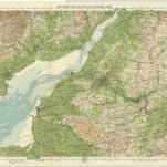

Full title:Bath & Bristol, Sheet 28 - Bartholomew's "Half Inch to the Mile Maps" of England & Wales
Depicted:1904
Pubdate:1904
Publisher:John Bartholomew & Co
Physical Size:20 x 30 cm
Map scale:1:126 720
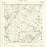
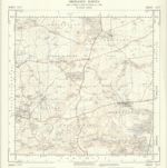
ST68 - OS 1:25,000 Provisional Series Map
1938
Ordnance Survey
1:25k
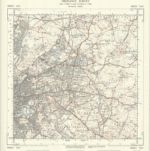
ST67 - OS 1:25,000 Provisional Series Map
1938
Ordnance Survey
1:25k
ST78 - OS 1:25,000 Provisional Series Map
1949
Ordnance Survey
1:25k
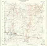
ST77 - OS 1:25,000 Provisional Series Map
1938
Ordnance Survey
1:25k
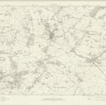
Bristol and Stroud - OS One-Inch Map
1949
Ordnance Survey
1:63k
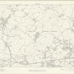
Gloucestershire LXIII - OS Six-Inch Map
1919
Ordnance Survey
1:11k
Gloucestershire LXVIII - OS Six-Inch Map
1912
Ordnance Survey
1:11k
Gloucestershire LXXII - OS Six-Inch Map
1912
Ordnance Survey
1:11k
Gloucestershire LXIV - OS Six-Inch Map
1919
Ordnance Survey
1:11k
Gloucestershire LXIX - OS Six-Inch Map
1919
Ordnance Survey
1:11k