Maps of Waltham Forest
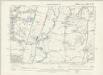
London IV.NW - OS Six-Inch Map
1 : 10560 Topographic maps Ordnance Survey Ordnance Survey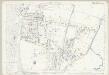
Essex (1st Ed/Rev 1862-96) LXV.11 (includes: Wanstead; Woodford) - 25 Inch Map
1 : 2500 Topographic maps Ordnance Survey Ordnance Survey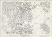
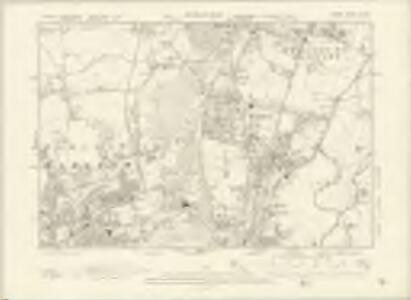
Essex (New Series 1913-) n LXXVIII.6 (includes: Ilford; Wanstead; Woodford) - 25 Inch Map
1 : 2500 Topographic maps Ordnance Survey Ordnance Survey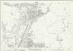
Essex (New Series 1913-) n LXXVIII.6 (includes: Ilford; Wanstead; Woodford) - 25 Inch Map
1 : 2500 Topographic maps Ordnance Survey Ordnance Survey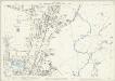
London (Edition of 1894-96) XVI (includes: Ilford; Wanstead; Woodford) - 25 Inch Map
1 : 2500 Topographic maps Ordnance Survey Ordnance Survey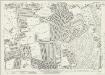
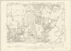
Essex (New Series 1913-) n LXXVIII.1 (includes: Walthamstow) - 25 Inch Map
1 : 2500 Topographic maps Ordnance Survey Ordnance Survey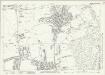
Essex (New Series 1913-) n LXXVIII.1 (includes: Walthamstow) - 25 Inch Map
1 : 2500 Topographic maps Ordnance Survey Ordnance Survey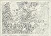
Essex (New Series 1913-) n LXXVIII.5 (includes: Leyton; Walthamstow) - 25 Inch Map
1 : 2500 Topographic maps Ordnance Survey Ordnance Survey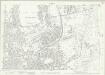
Essex (New Series 1913-) n LXXVIII.5 (includes: Leyton; Walthamstow) - 25 Inch Map
1 : 2500 Topographic maps Ordnance Survey Ordnance Survey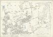
London (Edition of 1894-96) XV (includes: Leyton; Walthamstow) - 25 Inch Map
1 : 2500 Topographic maps Ordnance Survey Ordnance Survey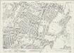
Essex (New Series 1913-) n LXXVIII.2 (includes: Woodford) - 25 Inch Map
1 : 2500 Topographic maps Ordnance Survey Ordnance Survey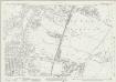
Essex (New Series 1913-) n LXXVIII.2 (includes: Woodford) - 25 Inch Map
1 : 2500 Topographic maps Ordnance Survey Ordnance Survey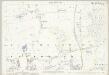
Essex (1st Ed/Rev 1862-96) LXV.10 (includes: Walthamstow) - 25 Inch Map
1 : 2500 Topographic maps Ordnance Survey Ordnance Survey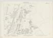
London IV.44 - OS London Town Plan
1 : 1056 Topographic maps Ordnance Survey Ordnance Survey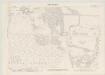
London IV.43 - OS London Town Plan
1 : 1056 Topographic maps Ordnance Survey Ordnance Survey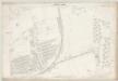
London IV.32 - OS London Town Plan
1 : 1056 Topographic maps Ordnance Survey Ordnance Survey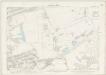
London IV.42 - OS London Town Plan
1 : 1056 Topographic maps Ordnance Survey Ordnance Survey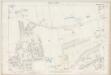
London IV.31 - OS London Town Plan
1 : 1056 Topographic maps Ordnance Survey Ordnance Survey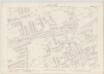
London IV.41 - OS London Town Plan
1 : 1056 Topographic maps Ordnance Survey Ordnance Survey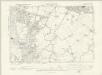
Essex LXV.SE - OS Six-Inch Map
1 : 10560 Topographic maps Ordnance Survey Ordnance Survey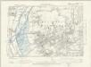
Essex LXV.SW - OS Six-Inch Map
1 : 10560 Topographic maps Ordnance Survey Ordnance Survey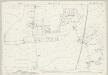
Essex (1st Ed/Rev 1862-96) LXV.6 (includes: Chingford; Walthamstow) - 25 Inch Map
1 : 2500 Topographic maps Ordnance Survey Ordnance Survey
London Sheet H - OS Six-Inch Map
1 : 10560 Topographic maps Ordnance Survey Ordnance Survey
London Sheet H - OS Six-Inch Map
1 : 10560 Topographic maps Ordnance Survey Ordnance Survey
Middlesex XVIII (inset XIII & XXIII) - OS Six-Inch Map
1 : 10560 Topographic maps Ordnance Survey Ordnance Survey
Essex LXV - OS Six-Inch Map
1 : 10560 Topographic maps Ordnance Survey Ordnance Survey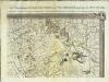
An exact survey of the city's of London Westminster , IV
1 Blatt : 53 x 71 cm John Rocque
A Plan of the House, Gardens, Park, and Plantations of Wanstead, the Seat of the Earl of Tylney, by Rocque.
Rocque, John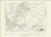
Essex LXV.NE - OS Six-Inch Map
1 : 10560 Topographic maps Ordnance Survey Ordnance Survey