Cataloged map
TR26 & Parts of TR27 - OS 1:25,000 Provisional Series Map


Full title:TR26 & Parts of TR27 - OS 1:25,000 Provisional Series Map
Depicted:1938
Pubdate:1960
Publisher:Ordnance Survey
Physical Size:20 x 30 cm
Map scale:1:25 000
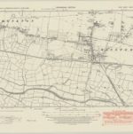
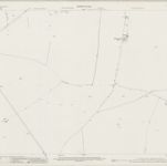
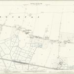
Kent XXXVII.NW - OS Six-Inch Map
1945
Ordnance Survey
1:11k
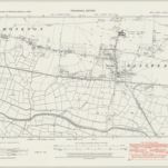
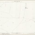
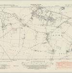
Kent XXXVII.NW - OS Six-Inch Map
1938
Ordnance Survey
1:11k
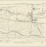
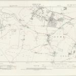
Kent XXXVII.NW - OS Six-Inch Map
1905
Ordnance Survey
1:11k
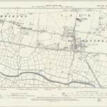
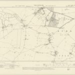
Kent XXXVII.NW - OS Six-Inch Map
1896
Ordnance Survey
1:11k
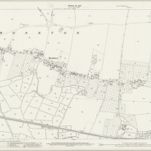
Kent XXV.13 (includes: Monkton; St Nicholas At Wade) - 25 Inch Map
1939
Ordnance Survey
1:3k
Kent XXV.13 (includes: Monkton; St Nicholas At Wade) - 25 Inch Map
1896
Ordnance Survey
1:3k
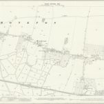
Kent XXXVII.1 (includes: Minster; Monkton) - 25 Inch Map
1939
Ordnance Survey
1:3k
Kent XXXVII.1 (includes: Minster; Monkton) - 25 Inch Map
1905
Ordnance Survey
1:3k
Kent XXXVII.1 (includes: Minster; Monkton) - 25 Inch Map
1896
Ordnance Survey
1:3k
Kent XXV.SW - OS Six-Inch Map
1946
Ordnance Survey
1:11k
Kent XXV.SW - OS Six-Inch Map
1936
Ordnance Survey
1:11k
Kent XXV.SW - OS Six-Inch Map
1905
Ordnance Survey
1:11k
Kent XXV.SW - OS Six-Inch Map
1905
Ordnance Survey
1:11k
Kent XXV.SW - OS Six-Inch Map
1896
Ordnance Survey
1:11k