Mapa catalogado
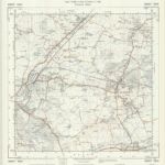
TL60 - OS 1:25,000 Provisional Series Map
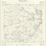

Título completo:TL60 - OS 1:25,000 Provisional Series Map
Año de ilustración:1938
Fecha de publicación:1958
Editorial:Ordnance Survey
Tamaño físico:20 x 30 cm
Escala del mapa:1:25 000
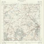
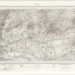
TQ59 - OS 1:25,000 Provisional Series Map
1938
Ordnance Survey
1:25k
Essex nLXXI - OS Six-Inch Map
1915
Ordnance Survey
1:11k
Essex LIX - OS Six-Inch Map
1871
Ordnance Survey
1:11k

Essex LXVII - OS Six-Inch Map
1866
Ordnance Survey
1:11k

Essex nLXII - OS Six-Inch Map
1915
Ordnance Survey
1:11k
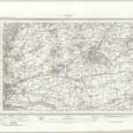
TQ69 - OS 1:25,000 Provisional Series Map
1938
Ordnance Survey
1:25k

Essex nLXXX - OS Six-Inch Map
1915
Ordnance Survey
1:11k
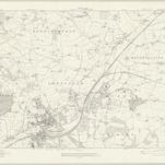
Ordnance Survey of England. Sheet 257, Romford
1896
Ordnance survey. GB
1:63k
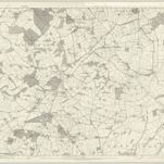
Romford (Hills) - OS One-Inch Revised New Series
1893
Ordnance Survey
1:63k
Romford (Outline) - OS One-Inch Revised New Series
1893
Ordnance Survey
1:63k