Cataloged map
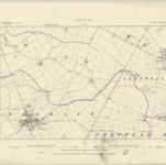
SK63 - OS 1:25,000 Provisional Series Map
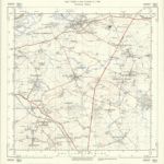

Full title:SK63 - OS 1:25,000 Provisional Series Map
Depicted:1938
Pubdate:1952
Publisher:Ordnance Survey
Physical Size:20 x 30 cm
Map scale:1:25 000
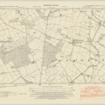
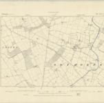
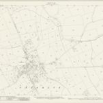
Nottinghamshire XLVII.NW - OS Six-Inch Map
1950
Ordnance Survey
1:11k
Nottinghamshire XLVII.NW - OS Six-Inch Map
1915
Ordnance Survey
1:11k
Nottinghamshire XLVII.NW - OS Six-Inch Map
1899
Ordnance Survey
1:11k
Nottinghamshire XLVII.NW - OS Six-Inch Map
1883
Ordnance Survey
1:11k
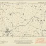
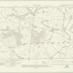
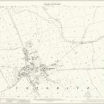
Nottinghamshire XLIII.SW - OS Six-Inch Map
1950
Ordnance Survey
1:11k
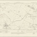
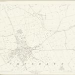
Nottinghamshire XLIII.SW - OS Six-Inch Map
1915
Ordnance Survey
1:11k
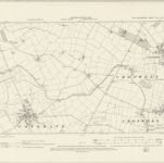
Nottinghamshire XLIII.SW - OS Six-Inch Map
1899
Ordnance Survey
1:11k
Nottinghamshire XLIII.SW - OS Six-Inch Map
1883
Ordnance Survey
1:11k
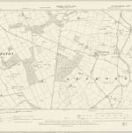
Nottinghamshire XLIII.13 (includes: Cotgrave; Cropwell Bishop) - 25 Inch Map
1915
Ordnance Survey
1:3k
Nottinghamshire XLIII.13 (includes: Cotgrave; Cropwell Bishop) - 25 Inch Map
1899
Ordnance Survey
1:3k
Nottinghamshire XLIII.13 (includes: Cotgrave; Cropwell Bishop) - 25 Inch Map
1883
Ordnance Survey
1:3k