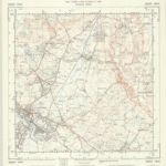
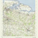
编目地图
Chatham and Maidstone - OS One-Inch Map

完整标题:Chatham and Maidstone - OS One-Inch Map
描述:1954
发布日期:1961
出版商:Ordnance Survey
物理尺寸:20 x 30 cm
地图比例尺:1:63 360
A topographical-map, of the county of Kent, 18
1769
A. Dury, W. Herbert
TR04 - OS 1:25,000 Provisional Series Map
1938
Ordnance Survey
1:25k
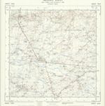
TR03 - OS 1:25,000 Provisional Series Map
1937
Ordnance Survey
1:25k
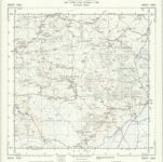
TQ94 - OS 1:25,000 Provisional Series Map
1936
Ordnance Survey
1:25k
TQ93 - OS 1:25,000 Provisional Series Map
1936
Ordnance Survey
1:25k

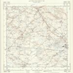
Hastings - OS One-Inch Map
1954
Ordnance Survey
1:63k
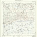
Chatham and Maidstone - OS One-Inch Map
1954
Ordnance Survey
1:63k
A topographical-map, of the county of Kent, 13
1769
A. Dury, W. Herbert
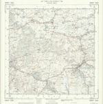
TQ84 - OS 1:25,000 Provisional Series Map
1936
Ordnance Survey
1:25k
TQ83 - OS 1:25,000 Provisional Series Map
1937
Ordnance Survey
1:25k