Mappa catalogata
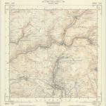
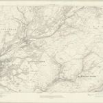
Swansea - OS One-Inch Map
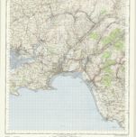

Titolo completo:Swansea - OS One-Inch Map
Anno di illustrazione:1954
Data di pubblicazione:1960
Editore:Ordnance Survey
Dimensione fisica:20 x 30 cm
Scala della mappa:1:63 360
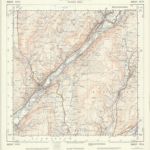
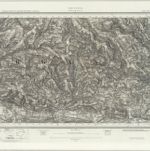
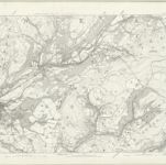
SN70 - OS 1:25,000 Provisional Series Map
1938
Ordnance Survey
1:25k
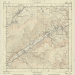
SS79 - OS 1:25,000 Provisional Series Map
1938
Ordnance Survey
1:25k
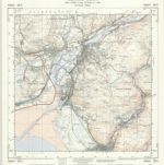
SN80 - OS 1:25,000 Provisional Series Map
1949
Ordnance Survey
1:25k
SS89 - OS 1:25,000 Provisional Series Map
1949
Ordnance Survey
1:25k
Pontypridd (Hills) - OS One-Inch Revised New Series
1904
Ordnance Survey
1:63k
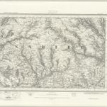
Pontypridd (Outline) - OS One-Inch Revised New Series
1893
Ordnance Survey
1:63k
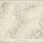
Glamorgan IX - OS Six-Inch Map
1913
Ordnance Survey
1:11k

Glamorgan IX - OS Six-Inch Map
1876
Ordnance Survey
1:11k
Glamorgan XVI - OS Six-Inch Map
1913
Ordnance Survey
1:11k
Glamorgan XVI - OS Six-Inch Map
1876
Ordnance Survey
1:11k