Mapa catalogado
Norwich - OS One-Inch Map
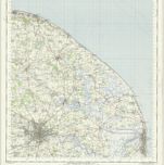

Título completo:Norwich - OS One-Inch Map
Año de ilustración:1952
Fecha de publicación:1960
Editorial:Ordnance Survey
Tamaño físico:20 x 30 cm
Escala del mapa:1:63 360

TG20 - OS 1:25,000 Provisional Series Map
1938
Ordnance Survey
1:25k
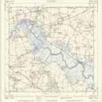
TG30 - OS 1:25,000 Provisional Series Map
1946
Ordnance Survey
1:25k
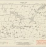
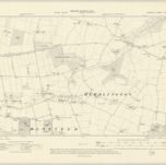
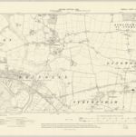
Norfolk LXIV.NE - OS Six-Inch Map
1946
Ordnance Survey
1:11k
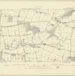
Norfolk LXIV.NE - OS Six-Inch Map
1926
Ordnance Survey
1:11k
Norfolk LXIV.NE - OS Six-Inch Map
1905
Ordnance Survey
1:11k
Norfolk LXIV.NE - OS Six-Inch Map
1881
Ordnance Survey
1:11k
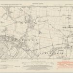
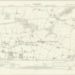
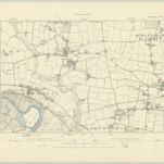
Norfolk LXIV.SE - OS Six-Inch Map
1946
Ordnance Survey
1:11k
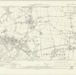
Norfolk LXIV.SE - OS Six-Inch Map
1926
Ordnance Survey
1:11k
Norfolk LXIV.SE - OS Six-Inch Map
1905
Ordnance Survey
1:11k
Norfolk LXIV.SE - OS Six-Inch Map
1881
Ordnance Survey
1:11k