Cataloged map
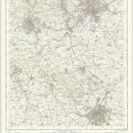
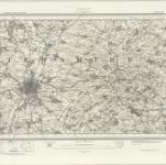
Derby and Leicester - OS One-Inch Map

Full title:Derby and Leicester - OS One-Inch Map
Depicted:1950
Pubdate:1954
Publisher:Ordnance Survey
Physical Size:20 x 30 cm
Map scale:1:63 360
Leicestrensis comitatvs
1646
Blaeu
An accurate map of the counties of Leicester and Rutland
1756
Bowen; Tinney; Bowles; Sayer; Bowles; Bowles
Leicestrensis comitatvs cum Rvtlandiæ vulgo Leicester [and] Rutland Shire
1690
Valck; Schenk
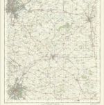
Derby and Leicester - OS One-Inch Map
1950
Ordnance Survey
1:63k
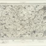
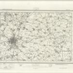
Melton Mowbray - OS One-Inch Map
1950
Ordnance Survey
1:63k
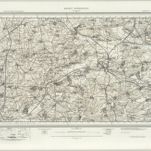
Melton Mowbray (Hills) - OS One-Inch Revised New Series
1898
Ordnance Survey
1:63k
Melton Mowbray (Outline) - OS One-Inch Revised New Series
1898
Ordnance Survey
1:63k
Leicester (Hills) - OS One-Inch Revised New Series
1898
Ordnance Survey
1:63k
Leicester (Outline) - OS One-Inch Revised New Series
1898
Ordnance Survey
1:63k
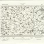
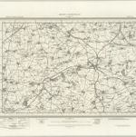
Market Harborough (Hills) - OS One-Inch Revised New Series
1897
Ordnance Survey
1:63k
Market Harborough (Outline) - OS One-Inch Revised New Series
1897
Ordnance Survey
1:63k