Mappa catalogata
Ballater - OS One-Inch Map
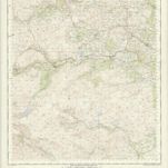

Titolo completo:Ballater - OS One-Inch Map
Anno di illustrazione:1955
Data di pubblicazione:1958
Editore:Ordnance Survey
Dimensione fisica:20 x 30 cm
Scala della mappa:1:63 360
Angusia provincia scotiæ sive the shire of Angus
1690
Valck; Schenk
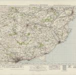
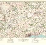
Arbroath & Montrose (58) - OS One-Inch map
1947
Ordnance Survey
1:63k
Arbroath & Montrose (58) - OS One-Inch map
1926
Ordnance Survey
1:63k
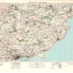
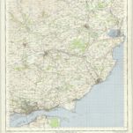
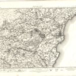
Forfar & Dundee (57) - OS One-Inch map
1947
Ordnance Survey
1:63k
Forfar & Dundee (57) - OS One-Inch map
1926
Ordnance Survey
1:63k
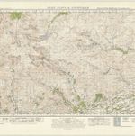
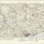
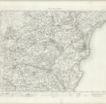
Glen Clova & Lochnagar (50) - OS One-Inch map
1947
Ordnance Survey
1:63k
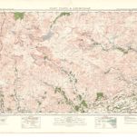
Glen Clova & Lochnagar (50) - OS One-Inch map
1927
Ordnance Survey
1:63k
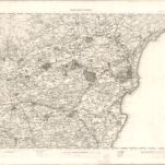
Forfar - OS One-Inch Map
1954
Ordnance Survey
1:63k
Forfar - OS One-Inch map
1905
Ordnance Survey
1:63k
Forfar - OS One-Inch map
1894
Ordnance Survey
1:63k
Forfar - OS One-Inch map
1863
Ordnance Survey
1:63k