Cataloged map
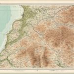
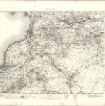
Loch Doon (83) - OS One-Inch map

Full title:Loch Doon (83) - OS One-Inch map
Depicted:1945 - 1947
Pubdate:1945
Publisher:Ordnance Survey
Physical Size:20 x 30 cm
Map scale:1:63 360
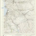
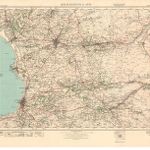
Ayr - OS One-Inch Map
1953
Ordnance Survey
1:63k
Coila provincia
1654
Blaeu; Pont
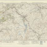
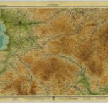
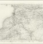
Loch Doon (83) - OS One-Inch map
1947
Ordnance Survey
1:63k
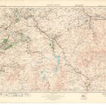
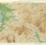
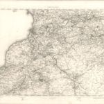
Loch Doon (83) - OS One-Inch map
1923
Ordnance Survey
1:63k
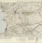
Kilmarnock & Ayr (78) - OS One-Inch map
1947
Ordnance Survey
1:63k
Kilmarnock & Ayr (78) - OS One-Inch map
1923
Ordnance Survey
1:63k
Ayr - Bartholomew's 'Survey Atlas of Scotland'
1912
John Bartholomew & Son, Ltd
1:127k
Ayrshire, Sheet 4 - Bartholomew's "Half Inch to the Mile Maps" of Scotland
1934
John Bartholomew & Son, Ltd
1:127k
Ayr & Clydesdale, Sheet 4 - Bartholomew's "Half Inch to the Mile Maps" of Scotland
1900
Bartholomew, John George
1:127k
Ayr - OS One-Inch map
1902
Ordnance Survey
1:63k
Ayr - OS One-Inch map
1895
Ordnance Survey
1:63k
Ayr - OS One-Inch map
1857
Ordnance Survey
1:63k