Maps of Perthshire and Kinross

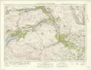
Dunkeld & Pitlochry (56) - OS One-Inch map
1 : 63360 Topographic maps Ordnance Survey Ordnance Survey
Dunkeld & Pitlochry (56) - OS One-Inch map
1 : 63360 Topographic maps Ordnance Survey Ordnance Survey
Plan of Dunkeld.
Wood, John, ca. 1780-1847
NN95 - OS 1:25,000 Provisional Series Map
1 : 25000 Topographic maps Ordnance Survey Ordnance Survey
NN94 - OS 1:25,000 Provisional Series Map
1 : 25000 Topographic maps Ordnance Survey Ordnance Survey
NO05 - OS 1:25,000 Provisional Series Map
1 : 25000 Topographic maps Ordnance Survey Ordnance Survey
NO04 - OS 1:25,000 Provisional Series Map
1 : 25000 Topographic maps Ordnance Survey Ordnance Survey
NO03 - OS 1:25,000 Provisional Series Map
1 : 25000 Topographic maps Ordnance Survey Ordnance Survey
NN93 - OS 1:25,000 Provisional Series Map
1 : 25000 Topographic maps Ordnance Survey Ordnance Survey
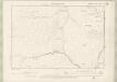
Perthshire, Sheet LXX - OS 6 Inch map
1 : 10560 Topographic maps Ordnance Survey Ordnance Survey
Perthshire, Sheet XLIX - OS 6 Inch map
1 : 10560 Topographic maps Ordnance Survey Ordnance Survey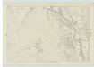
Perthshire, Sheet L - OS 6 Inch map
1 : 10560 Topographic maps Ordnance Survey Ordnance Survey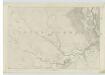
Perthshire, Sheet LXI - OS 6 Inch map
1 : 10560 Topographic maps Ordnance Survey Ordnance Survey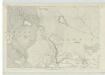
Perthshire, Sheet LI - OS 6 Inch map
1 : 10560 Topographic maps Ordnance Survey Ordnance Survey
Perthshire, Sheet LX - OS 6 Inch map
1 : 10560 Topographic maps Ordnance Survey Ordnance Survey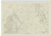
Perthshire, Sheet XLI - OS 6 Inch map
1 : 10560 Topographic maps Ordnance Survey Ordnance Survey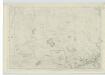
Perthshire, Sheet XXXIX - OS 6 Inch map
1 : 10560 Topographic maps Ordnance Survey Ordnance Survey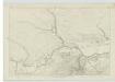
Perthshire, Sheet XLVIII - OS 6 Inch map
1 : 10560 Topographic maps Ordnance Survey Ordnance Survey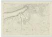
Perthshire, Sheet LIX - OS 6 Inch map
1 : 10560 Topographic maps Ordnance Survey Ordnance Survey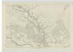
Perthshire, Sheet XL - OS 6 Inch map
1 : 10560 Topographic maps Ordnance Survey Ordnance Survey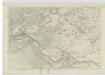
Perthshire, Sheet LXII - OS 6 Inch map
1 : 10560 Topographic maps Ordnance Survey Ordnance Survey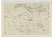
Perthshire, Sheet LXXIII - OS 6 Inch map
1 : 10560 Topographic maps Ordnance Survey Ordnance Survey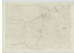
Perthshire, Sheet XXXVIII - OS 6 Inch map
1 : 10560 Topographic maps Ordnance Survey Ordnance Survey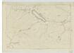
Perthshire, Sheet LXXI - OS 6 Inch map
1 : 10560 Topographic maps Ordnance Survey Ordnance Survey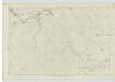
Perthshire, Sheet LXXII - OS 6 Inch map
1 : 10560 Topographic maps Ordnance Survey Ordnance Survey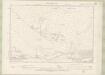
Perth and Clackmannan Sheet XXIX.SW - OS 6 Inch map
1 : 10560 Topographic maps Ordnance Survey Ordnance Survey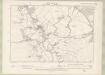
Perth and Clackmannan Sheet XXXII.SE - OS 6 Inch map
1 : 10560 Topographic maps Ordnance Survey Ordnance Survey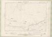
Perth and Clackmannan Sheet XXXVIII.NW - OS 6 Inch map
1 : 10560 Topographic maps Ordnance Survey Ordnance Survey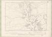
Perth and Clackmannan Sheet XLI.NE - OS 6 Inch map
1 : 10560 Topographic maps Ordnance Survey Ordnance Survey