Maps of Grampian Mountains

Loch Etive & Glen Coe (54) - OS One-Inch map
1 : 63360 Topographic maps Ordnance Survey Ordnance Survey
Loch Etive & Glen Coe (54) - OS One-Inch map
1 : 63360 Topographic maps Ordnance Survey Ordnance Survey
Lochs Etive and Creran
Great Britain. Hydrographic Office
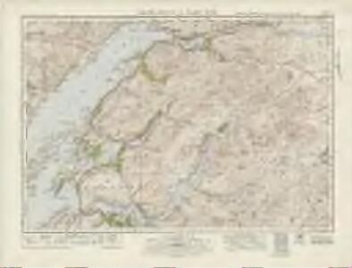
Ben Nevis - OS One-Inch map
1 : 63360 Topographic maps Ordnance Survey Ordnance Survey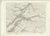
Ben Nevis - OS One-Inch map
1 : 63360 Topographic maps Ordnance Survey Ordnance Survey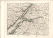
Ben Nevis - OS One-Inch map
1 : 63360 Topographic maps Ordnance Survey Ordnance Survey
Geological Survey of Scotland
1 : 65000 Peach, B. N. Ordnance Survey Office
Loch Linnhe, Southern Part
Great Britain. Hydrographic Office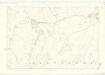
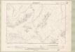
Argyllshire, Sheet LXXVI - OS 6 Inch map
1 : 10560 Topographic maps Ordnance Survey Ordnance Survey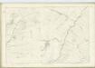
Argyllshire, Sheet XC - OS 6 Inch map
1 : 10560 Topographic maps Ordnance Survey Ordnance Survey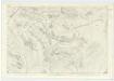
Argyllshire, Sheet LX - OS 6 Inch map
1 : 10560 Topographic maps Ordnance Survey Ordnance Survey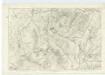
Argyllshire, Sheet XLV - OS 6 Inch map
1 : 10560 Topographic maps Ordnance Survey Ordnance Survey
Argyllshire, Sheet XLVI - OS 6 Inch map
1 : 10560 Topographic maps Ordnance Survey Ordnance Survey
Argyllshire, Sheet LXXXIX - OS 6 Inch map
1 : 10560 Topographic maps Ordnance Survey Ordnance Survey
Argyllshire, Sheet LVIII - OS 6 Inch map
1 : 10560 Topographic maps Ordnance Survey Ordnance Survey
Argyllshire, Sheet LXXV - OS 6 Inch map
1 : 10560 Topographic maps Ordnance Survey Ordnance Survey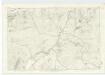
Argyllshire, Sheet LIX - OS 6 Inch map
1 : 10560 Topographic maps Ordnance Survey Ordnance Survey
Argyllshire, Sheet LVII - OS 6 Inch map
1 : 10560 Topographic maps Ordnance Survey Ordnance Survey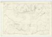
Argyllshire, Sheet XLIV - OS 6 Inch map
1 : 10560 Topographic maps Ordnance Survey Ordnance Survey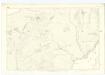
Argyllshire, Sheet LXXIV - OS 6 Inch map
1 : 10560 Topographic maps Ordnance Survey Ordnance Survey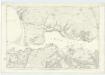
Argyllshire, Sheet LXXXVII - OS 6 Inch map
1 : 10560 Topographic maps Ordnance Survey Ordnance Survey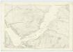
Argyllshire, Sheet LXXXVIII - OS 6 Inch map
1 : 10560 Topographic maps Ordnance Survey Ordnance Survey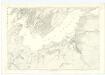
Argyllshire, Sheet LXXIII - OS 6 Inch map
1 : 10560 Topographic maps Ordnance Survey Ordnance Survey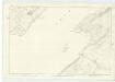
Argyllshire, Sheet XLIII - OS 6 Inch map
1 : 10560 Topographic maps Ordnance Survey Ordnance Survey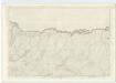
Argyllshire, Sheet XXXII - OS 6 Inch map
1 : 10560 Topographic maps Ordnance Survey Ordnance Survey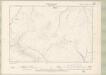
Argyll and Bute Sheet XXXII.SE - OS 6 Inch map
1 : 10560 Topographic maps Ordnance Survey Ordnance Survey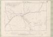
Argyll and Bute Sheet XLVI.NE - OS 6 Inch map
1 : 10560 Topographic maps Ordnance Survey Ordnance Survey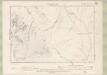
Argyll and Bute Sheet XLVI.SE - OS 6 Inch map
1 : 10560 Topographic maps Ordnance Survey Ordnance Survey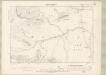
Argyll and Bute Sheet LX.NE - OS 6 Inch map
1 : 10560 Topographic maps Ordnance Survey Ordnance Survey