Cataloged map
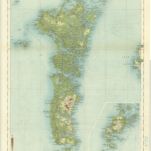
The Cuillins, Rhum & Canna (34) - OS One-Inch map

Full title:The Cuillins, Rhum & Canna (34) - OS One-Inch map
Depicted:1945 - 1947
Pubdate:1947
Publisher:Ordnance Survey
Physical Size:20 x 30 cm
Map scale:1:63 360
Tabula Leogi et Haraiæ, ac Skiæ vel Skianæ insularum
1670
Valck; Schenk
Scotland / J. Ainslie, 1
1789
Ainslie, Faden
Leogvs et Haraia
1654
Blaeu
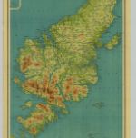
Harris & The Lewis, Sheet 23 - Bartholomew's "Half Inch to the Mile Maps" of Scotland
1935
John Bartholomew & Son, Ltd
1:127k
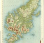
Outer Hebrides, Sheet 23 - Bartholomew's "Half Inch to the Mile Maps" of Scotland
1902
Bartholomew, John George
1:127k
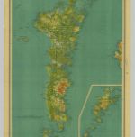
Uist & Barra, Sheet 18 - Bartholomew's "Half Inch to the Mile Maps" of Scotland
1934
John Bartholomew & Son, Ltd
1:127k
North & South Uist, Sheet 18 - Bartholomew's "Half Inch to the Mile Maps" of Scotland
1904
Bartholomew, John George
1:127k
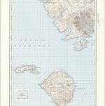
Vistvs insvla, vulgo Viist
1654
Blaeu; Pont
A general map of Scotland and islands thereto belonging, 1
1750
s.n.
Harris - Bartholomew's 'Survey Atlas of Scotland'
1912
John Bartholomew & Son, Ltd
1:127k