Maps of East Ayrshire
Ayrshire, Sheet 020.14 - 25 Inch Map
1 : 2500 Topographic maps Ordnance Survey Ordnance Survey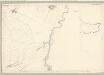
Ayr, Sheet XXV.1 (With inset XX.14) (Galston) - OS 25 Inch map
1 : 2500 Topographic maps Ordnance Survey Ordnance Survey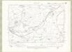
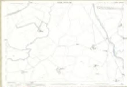
Ayrshire Sheet XX.SW - OS 6 Inch map
1 : 10560 Topographic maps Ordnance Survey Ordnance Survey
Ayrshire Sheet XX.SW - OS 6 Inch map
1 : 10560 Topographic maps Ordnance Survey Ordnance Survey
Lanark, Sheet XXXVI.1 (Avondale) - OS 25 Inch map
1 : 2500 Topographic maps Ordnance Survey Ordnance Survey
Lanarkshire, Sheet 036.01 - 25 Inch Map
1 : 2500 Topographic maps Ordnance Survey Ordnance Survey
Lanarkshire, Sheet 036.01 - 25 Inch Map
1 : 2500 Topographic maps Ordnance Survey Ordnance Survey
Lanarkshire, Sheet 030.13 - 25 Inch Map
1 : 2500 Topographic maps Ordnance Survey Ordnance Survey
Lanarkshire, Sheet 030.13 - 25 Inch Map
1 : 2500 Topographic maps Ordnance Survey Ordnance Survey
Lanark, Sheet XXX.13 (Avondale) - OS 25 Inch map
1 : 2500 Topographic maps Ordnance Survey Ordnance Survey
Lanarkshire Sheet XXXVI.NW - OS 6 Inch map
1 : 10560 Topographic maps Ordnance Survey Ordnance Survey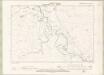
Lanarkshire Sheet XXXVI.NW - OS 6 Inch map
1 : 10560 Topographic maps Ordnance Survey Ordnance Survey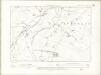
Lanarkshire Sheet XXX.SW - OS 6 Inch map
1 : 10560 Topographic maps Ordnance Survey Ordnance Survey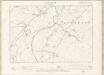
Lanarkshire Sheet XXX.SW - OS 6 Inch map
1 : 10560 Topographic maps Ordnance Survey Ordnance Survey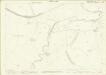
Lanarkshire, Sheet 035.04 - 25 Inch Map
1 : 2500 Topographic maps Ordnance Survey Ordnance Survey
Lanarkshire, Sheet 035.04 - 25 Inch Map
1 : 2500 Topographic maps Ordnance Survey Ordnance Survey
Lanark, Sheet XXXV.4 (Avondale) - OS 25 Inch map
1 : 2500 Topographic maps Ordnance Survey Ordnance Survey
Lanark, Sheet XXIX.16 (Avondale) - OS 25 Inch map
1 : 2500 Topographic maps Ordnance Survey Ordnance Survey
Lanarkshire, Sheet 029.16 - 25 Inch Map
1 : 2500 Topographic maps Ordnance Survey Ordnance Survey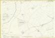
Lanarkshire, Sheet 029.16 - 25 Inch Map
1 : 2500 Topographic maps Ordnance Survey Ordnance Survey
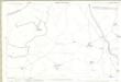
Ayrshire, Sheet XX - OS 6 Inch map
1 : 10560 Topographic maps Ordnance Survey Ordnance Survey
NS63 - OS 1:25,000 Provisional Series Map
1 : 25000 Topographic maps Ordnance Survey Ordnance Survey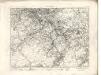
Hamilton - OS One-Inch map
1 : 63360 Topographic maps Ordnance Survey Ordnance Survey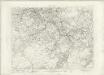
Hamilton - OS One-Inch map
1 : 63360 Topographic maps Ordnance Survey Ordnance Survey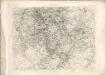
Hamilton - OS One-Inch map
1 : 63360 Topographic maps Ordnance Survey Ordnance Survey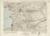
Kilmarnock & Ayr (78) - OS One-Inch map
1 : 63360 Topographic maps Ordnance Survey Ordnance Survey
Kilmarnock & Ayr (78) - OS One-Inch map
1 : 63360 Topographic maps Ordnance Survey Ordnance Survey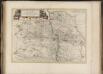
Glottiana Praefectura Inferior, cum Baronia Glascuensi, [vulgo], The nether ward of Clyds-dail and Glasco / Auct. Timoth. Pont.
Pont, Timothy, 1560?-1614? Blaeu, Joan, 1596-1673
Coila provincia
1 Karte : Kupferdruck ; 44 x 55 cm Blaeu; Pont Joan Blaeu