Carte cataloguée
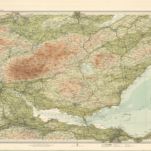
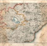
Fife, Kinross - Bartholomew's 'Survey Atlas of Scotland'

Titre complet:Fife, Kinross - Bartholomew's 'Survey Atlas of Scotland'
Année de l'image:1912
Date de publication:1912
Éditeur:John Bartholomew & Son, Ltd
Taille physique:20 x 30 cm
Échelle de la carte:1:126 720
Fifæ pars orientalis
1654
Blaeu
Fife, Kinross - Bartholomew's 'Survey Atlas of Scotland'
1912
John Bartholomew & Son, Ltd
1:127k
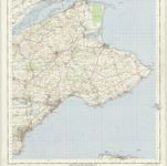
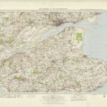
St Andrews and Kirkcaldy - OS One-Inch Map
1953
Ordnance Survey
1:63k
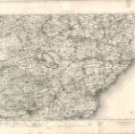
Kinross - OS One-Inch map
1904
Ordnance Survey
1:63k
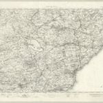
Kinross - OS One-Inch map
1895
Ordnance Survey
1:63k
[Kinross] - OS One-Inch map
1863
Ordnance Survey
1:63k
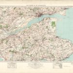
Dundee & St Andrews (64) - OS One-Inch map
1947
Ordnance Survey
1:63k
Dundee & St Andrews (64) - OS One-Inch map
1926
Ordnance Survey
1:63k
Fifæ vicecomitatvs
1654
Blaeu
Fifæ pars occidentalis
1654
Blaeu