Mapa catalogado
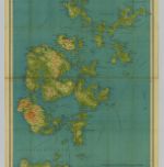
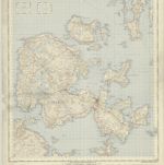
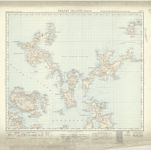
Orkney, Southern - Bartholomew's 'Survey Atlas of Scotland'

Título completo:Orkney, Southern - Bartholomew's 'Survey Atlas of Scotland'
Año de ilustración:1912
Fecha de publicación:1912
Editorial:John Bartholomew & Son, Ltd
Tamaño físico:20 x 30 cm
Escala del mapa:1:126 720
Orkney, Sheet 28 - Bartholomew's "Half Inch to the Mile Maps" of Scotland
1935
John Bartholomew & Son, Ltd
1:127k
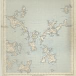
Orkney Islands, Sheet 28 - Bartholomew's "Half Inch to the Mile Maps" of Scotland
1900
Bartholomew, John George
1:127k
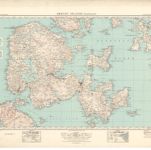
Orkney, Southern - Bartholomew's 'Survey Atlas of Scotland'
1912
John Bartholomew & Son, Ltd
1:127k
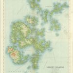
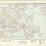
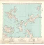
Orkney, Northern - Bartholomew's 'Survey Atlas of Scotland'
1912
John Bartholomew & Son, Ltd
1:127k
Orkney Islands (Kirkwall) - OS One-Inch Map
1957
Ordnance Survey
1:63k
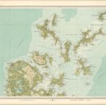
Orkney Islands (Mainland) (6) - OS One-Inch map
1947
Ordnance Survey
1:63k
Orkney Islands (Mainland) (6) - OS One-Inch map
1930
Ordnance Survey
1:63k
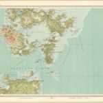
Orkney Islands (North) - OS One-Inch Map
1957
Ordnance Survey
1:63k
Orkney Islands (North) (5) - OS One-Inch map
1947
Ordnance Survey
1:63k
Orkney Islands (North) (5) - OS One-Inch map
1930
Ordnance Survey
1:63k