Maps of Highland

Scourie - Bartholomew's 'Survey Atlas of Scotland'
1 : 126720 Topographic maps John Bartholomew & Son, Ltd John Bartholomew & Son, Ltd
Cellar Head - OS One-Inch map
1 : 63360 Topographic maps Ordnance Survey Ordnance Survey
Cellar Head - OS One-Inch map
1 : 63360 Topographic maps Ordnance Survey Ordnance Survey
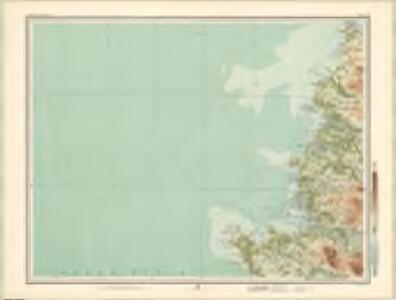
Isle of Lewis - OS One-Inch map
1 : 63360 Topographic maps Ordnance Survey Ordnance Survey
Cape Wrath - OS One-Inch map
1 : 63360 Topographic maps Ordnance Survey Ordnance Survey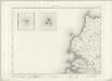
Cape Wrath - OS One-Inch map
1 : 63360 Topographic maps Ordnance Survey Ordnance Survey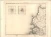
Cape Wrath - OS One-Inch map
1 : 63360 Topographic maps Ordnance Survey Ordnance Survey
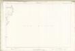
Lochs Laxford and Inchard with Scourie Bay.
Great Britain. Hydrographic Office
Portnaguiran - OS One-Inch map
1 : 63360 Topographic maps Ordnance Survey Ordnance Survey
Portnaguiran - OS One-Inch map
1 : 63360 Topographic maps Ordnance Survey Ordnance Survey
Isle of Lewis - OS One-Inch map
1 : 63360 Topographic maps Ordnance Survey Ordnance Survey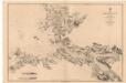
Eddrachilles Bay, including the Lochs
Great Britain. Hydrographic Office
Sutherland, Sheet XLVIIIA (with inset of sheet LVIIIA) - OS 6 Inch map
1 : 10560 Topographic maps Ordnance Survey Ordnance Survey
Sutherland, Sheet XII (with inset of sheet IVA) - OS 6 Inch map
1 : 10560 Topographic maps Ordnance Survey Ordnance Survey
Sutherland Sheet XLVIIIa (with inset LVIIIa) - OS 6 Inch map
1 : 10560 Topographic maps Ordnance Survey Ordnance Survey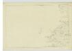
Sutherland, Sheet XXI - OS 6 Inch map
1 : 10560 Topographic maps Ordnance Survey Ordnance Survey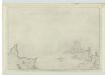
Sutherland, Sheet XLVIII - OS 6 Inch map
1 : 10560 Topographic maps Ordnance Survey Ordnance Survey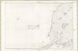
Sutherland Sheet XII (with inset IVa) - OS 6 Inch map
1 : 10560 Topographic maps Ordnance Survey Ordnance Survey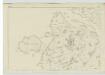
Sutherland, Sheet XXX - OS 6 Inch map
1 : 10560 Topographic maps Ordnance Survey Ordnance Survey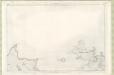
Sutherland Sheet XLVIII - OS 6 Inch map
1 : 10560 Topographic maps Ordnance Survey Ordnance Survey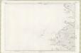
Sutherland Sheet XXI - OS 6 Inch map
1 : 10560 Topographic maps Ordnance Survey Ordnance Survey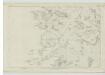
Sutherland, Sheet XXXIX - OS 6 Inch map
1 : 10560 Topographic maps Ordnance Survey Ordnance Survey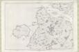
Sutherland Sheet XXX - OS 6 Inch map
1 : 10560 Topographic maps Ordnance Survey Ordnance Survey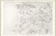
Sutherland Sheet XXXIX - OS 6 Inch map
1 : 10560 Topographic maps Ordnance Survey Ordnance Survey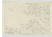
Sutherland, Sheet XLIX - OS 6 Inch map
1 : 10560 Topographic maps Ordnance Survey Ordnance Survey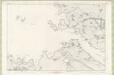
Sutherland Sheet XLIX - OS 6 Inch map
1 : 10560 Topographic maps Ordnance Survey Ordnance Survey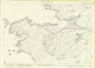
Sutherland, Sheet 039.02 - 25 Inch Map
1 : 2500 Topographic maps Ordnance Survey Ordnance Survey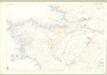
Sutherland, Sheet XXXIX.2 - OS 25 Inch map
1 : 2500 Topographic maps Ordnance Survey Ordnance Survey
Ross-shire (Island of Lewis), Sheet 22 - OS 6 Inch map
1 : 10560 Topographic maps Ordnance Survey Ordnance Survey