Maps of Argyll and Bute

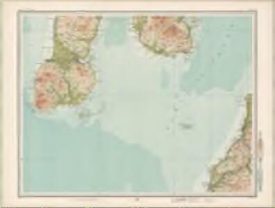
Campbeltown - Bartholomew's 'Survey Atlas of Scotland'
1 : 126720 Topographic maps John Bartholomew & Son, Ltd John Bartholomew & Son, Ltd
Kintyre - OS One-Inch Map
1 : 63360 Topographic maps Ordnance Survey Ordnance Survey
Campbelton - OS One-Inch map
1 : 63360 Topographic maps Ordnance Survey Ordnance Survey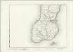
Campbelton - OS One-Inch map
1 : 63360 Topographic maps Ordnance Survey Ordnance Survey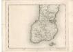
Campbelton - OS One-Inch map
1 : 63360 Topographic maps Ordnance Survey Ordnance Survey
Kintyre (76) - OS One-Inch map
1 : 63360 Topographic maps Ordnance Survey Ordnance Survey
Kintyre (76) - OS One-Inch map
1 : 63360 Topographic maps Ordnance Survey Ordnance Survey
Arran - OS One-Inch map
1 : 63360 Topographic maps Ordnance Survey Ordnance Survey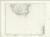
Arran - OS One-Inch map
1 : 63360 Topographic maps Ordnance Survey Ordnance Survey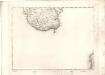
Arran - OS One-Inch map
1 : 63360 Topographic maps Ordnance Survey Ordnance Survey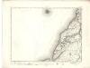
Girvan - OS One-Inch map
1 : 63360 Topographic maps Ordnance Survey Ordnance Survey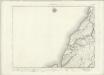
Girvan - OS One-Inch map
1 : 63360 Topographic maps Ordnance Survey Ordnance Survey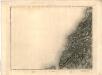
[Girvan] - OS One-Inch map
1 : 63360 Topographic maps Ordnance Survey Ordnance Survey
NR72 - OS 1:25,000 Provisional Series Map
1 : 25000 Topographic maps Ordnance Survey Ordnance Survey
NR71 - OS 1:25,000 Provisional Series Map
1 : 25000 Topographic maps Ordnance Survey Ordnance Survey
NS02 & Parts of NS01 - OS 1:25,000 Provisional Series Map
1 : 25000 Topographic maps Ordnance Survey Ordnance Survey
Argyll and Bute Sheet CCLXVI & CCLXVII - OS 6 Inch map
1 : 10560 Topographic maps Ordnance Survey Ordnance Survey
Argyllshire, Sheet CCLXIII - OS 6 Inch map
1 : 10560 Topographic maps Ordnance Survey Ordnance Survey
Argyllshire, Sheet CCLV - OS 6 Inch map
1 : 10560 Topographic maps Ordnance Survey Ordnance Survey
Argyllshire, Sheet CCLX - OS 6 Inch map
1 : 10560 Topographic maps Ordnance Survey Ordnance Survey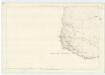
Argyllshire, Sheet CCLXIV - OS 6 Inch map
1 : 10560 Topographic maps Ordnance Survey Ordnance Survey
Ayrshire, Sheet LX - OS 6 Inch map
1 : 10560 Topographic maps Ordnance Survey Ordnance Survey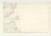
Argyllshire, Sheet CCLVIII - OS 6 Inch map
1 : 10560 Topographic maps Ordnance Survey Ordnance Survey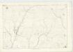
Argyllshire, Sheet CCLIV - OS 6 Inch map
1 : 10560 Topographic maps Ordnance Survey Ordnance Survey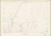
Argyll and Bute Sheet CCLIV - OS 6 Inch map
1 : 10560 Topographic maps Ordnance Survey Ordnance Survey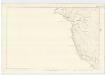
Argyllshire, Sheet CCLIII - OS 6 Inch map
1 : 10560 Topographic maps Ordnance Survey Ordnance Survey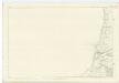
Ayrshire, Sheet LXV - OS 6 Inch map
1 : 10560 Topographic maps Ordnance Survey Ordnance Survey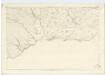
Argyllshire, Sheet CCLXV - OS 6 Inch map
1 : 10560 Topographic maps Ordnance Survey Ordnance Survey
Argyllshire, Sheet CCLXVI (with insets of sheets CCLXVIa & CCL* - OS 6 Inch map
1 : 10560 Topographic maps Ordnance Survey Ordnance Survey