Maps of Shetland Islands

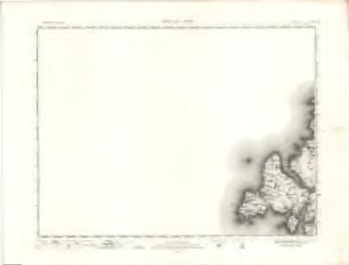
Hillswick - OS One-Inch map
1 : 63360 Topographic maps Ordnance Survey Ordnance Survey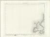
Hillswick - OS One-Inch map
1 : 63360 Topographic maps Ordnance Survey Ordnance Survey
Hillswick - OS One-Inch map
1 : 63360 Topographic maps Ordnance Survey Ordnance Survey
Shetland, Sheet XIVa - OS 6 Inch map
1 : 10560 Topographic maps Ordnance Survey Ordnance Survey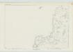
Shetland, Sheet XIX - OS 6 Inch map
1 : 10560 Topographic maps Ordnance Survey Ordnance Survey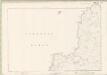
Zetland Sheet XIVa & XIX - OS 6 Inch map
1 : 10560 Topographic maps Ordnance Survey Ordnance Survey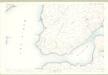
Shetland, Sheet XXIV.6 - OS 25 Inch map
1 : 2500 Topographic maps Ordnance Survey Ordnance Survey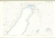
Shetland, Sheet XXIV.2 - OS 25 Inch map
1 : 2500 Topographic maps Ordnance Survey Ordnance Survey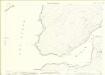
Zetland, Sheet 024.06 - 25 Inch Map
1 : 2500 Topographic maps Ordnance Survey Ordnance Survey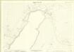
Zetland, Sheet 024.02 - 25 Inch Map
1 : 2500 Topographic maps Ordnance Survey Ordnance Survey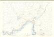
Shetland, Sheet XXIV.1 - OS 25 Inch map
1 : 2500 Topographic maps Ordnance Survey Ordnance Survey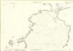
Zetland, Sheet 024.05 - 25 Inch Map
1 : 2500 Topographic maps Ordnance Survey Ordnance Survey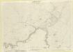
Zetland, Sheet 024.01 - 25 Inch Map
1 : 2500 Topographic maps Ordnance Survey Ordnance Survey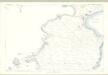
Shetland, Sheet XXIV.5 - OS 25 Inch map
1 : 2500 Topographic maps Ordnance Survey Ordnance Survey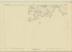
Shetland, Sheet XXIII - OS 6 Inch map
1 : 10560 Topographic maps Ordnance Survey Ordnance Survey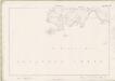
Zetland Sheet XXIII - OS 6 Inch map
1 : 10560 Topographic maps Ordnance Survey Ordnance Survey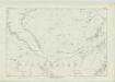
Shetland, Sheet XX - OS 6 Inch map
1 : 10560 Topographic maps Ordnance Survey Ordnance Survey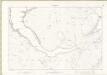
Zetland Sheet XX - OS 6 Inch map
1 : 10560 Topographic maps Ordnance Survey Ordnance Survey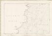
Zetland Sheet XIV - OS 6 Inch map
1 : 10560 Topographic maps Ordnance Survey Ordnance Survey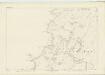
Shetland, Sheet XIV - OS 6 Inch map
1 : 10560 Topographic maps Ordnance Survey Ordnance Survey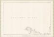
Zetland Sheet IX - OS 6 Inch map
1 : 10560 Topographic maps Ordnance Survey Ordnance Survey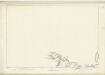
Shetland, Sheet IX - OS 6 Inch map
1 : 10560 Topographic maps Ordnance Survey Ordnance Survey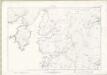
Zetland Sheet XXIV - OS 6 Inch map
1 : 10560 Topographic maps Ordnance Survey Ordnance Survey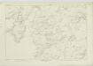
Shetland, Sheet XXIV - OS 6 Inch map
1 : 10560 Topographic maps Ordnance Survey Ordnance Survey
Shetland, Northern - Bartholomew's 'Survey Atlas of Scotland'
1 : 126720 Topographic maps John Bartholomew & Son, Ltd John Bartholomew & Son, Ltd
The Shetland Isles.
Great Britain. Hydrographic Office
Het Eyland Hitland met Zyn onderhoorige Eylanden : Wort by de Engelsche Shetland genaamt / by Gerard van Keulen.
Keulen, Gerard van
Carte des Isles Shetland.
Depot Generale de la Marine, Paris
A new hydrographical survey of the islands of Shetland.
Preston, Thomas, fl. 1743-1744