Mapa catalogado
Tobermory - OS One-Inch map
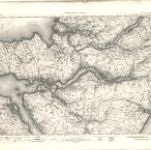

Título completo:Tobermory - OS One-Inch map
Año de ilustración:1905
Fecha de publicación:1908
Editorial:Ordnance Survey
Tamaño físico:20 x 30 cm
Escala del mapa:1:63 360
Extima Scotiæ septentrionalis ora
1654
Blaeu; Gordon
Scotiæ provinciæ mediterraneæ inter Taum flumen et vararis æstuarium: sunt autem Braid-Allaban
1654
Blaeu; Gordon
Scotland / J. Ainslie, 2
1789
Ainslie, Faden
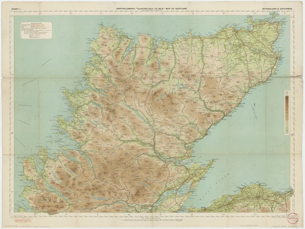
[Kaart], uit: Sutherland & Caithness
1930
Edinburgh : Bartholomew
1:253k
A general map of Scotland and islands thereto belonging, 1
1750
s.n.
La Scozia settentrionale
1779
Zatta; Zuliani; Pitteri
Scotiae regnum
1628
1:1m
Scotiae regnvm
1630
Mercator; Hondius
Scotiae regnvm
1630
Mercator
Scotiæ regnvm
1606
Mercator; Hondius