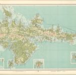
Mapa catalogado
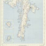
Shetland, Sheet XLVIII - OS 6 Inch map
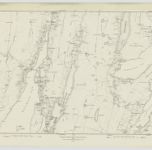

Título completo:Shetland, Sheet XLVIII - OS 6 Inch map
Año de ilustración:1878
Fecha de publicación:1881
Editorial:Ordnance Survey
Tamaño físico:20 x 30 cm
Escala del mapa:1:10 560
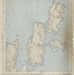
Zetland, Sheet 29 - Bartholomew's "Half Inch to the Mile Maps" of Scotland
1926
John Bartholomew & Son, Ltd
1:127k
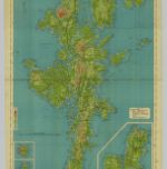
Shetland Islands, Sheet 29 - Bartholomew's "Half Inch to the Mile Maps" of Scotland
1905
Bartholomew, John George
1:127k
n/a
1791
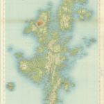
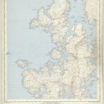
Shetland, Northern - Bartholomew's 'Survey Atlas of Scotland'
1912
John Bartholomew & Son, Ltd
1:127k
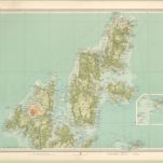
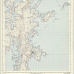
Shetland, Southern - Bartholomew's 'Survey Atlas of Scotland'
1912
John Bartholomew & Son, Ltd
1:127k
Shetland Islands (Yell & Unst) - OS One-Inch Map
1957
Ordnance Survey
1:63k
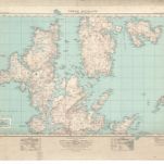
Shetland Islands (North Mainland) - OS One-Inch Map
1957
Ordnance Survey
1:63k
Shetland Islands ( Lerwick) - OS One-Inch Map
1957
Ordnance Survey
1:63k
Shetland Islands ( South Mainland) - OS One-Inch Map
1957
Ordnance Survey
1:63k
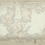
North Mainland (Shetland Islands) (2) - OS One-Inch map
1947
Ordnance Survey
1:63k
North Mainland (Shetland Islands) (2) - OS One-Inch map
1928
Ordnance Survey
1:63k