Mappa catalogata
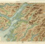
Argyllshire, Sheet XLV - OS 6 Inch map
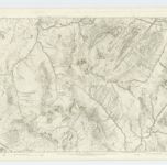

Titolo completo:Argyllshire, Sheet XLV - OS 6 Inch map
Anno di illustrazione:1870
Data di pubblicazione:1875
Editore:Ordnance Survey
Dimensione fisica:20 x 30 cm
Scala della mappa:1:10 560
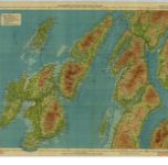
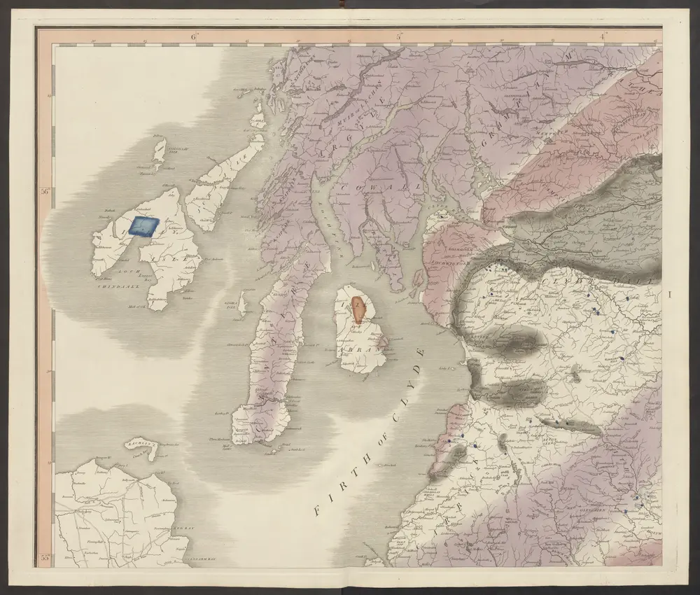
Islay & Jura, Sheet 6 - Bartholomew's "Half Inch to the Mile Maps" of Scotland
1930
John Bartholomew & Son, Ltd
1:127k
Islay, Jura, Colonsay, Sheet 6 - Bartholomew's "Half Inch to the Mile Maps" of Scotland
1901
Bartholomew, John George
1:127k
Mvla insvla
1654
Blaeu; Pont
n/a
1791
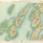
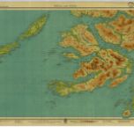
Argyll, Sheet 11 - Bartholomew's "Half Inch to the Mile Maps" of Scotland
1934
John Bartholomew & Son, Ltd
1:127k
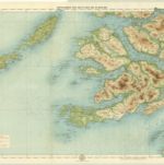
Oban & Loch Awe, Sheet 11 - Bartholomew's "Half Inch to the Mile Maps" of Scotland
1903
Bartholomew, John George
1:127k
delineation of the strata of England and Wales, with part of Scotland
1815
Smith, William
1:320k
Ila insvla
1654
Blaeu; Pont
Ivra insvla
1654
Blaeu; Pont
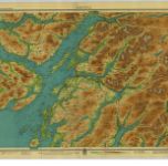
Mull & Iona, Sheet 10 - Bartholomew's "Half Inch to the Mile Maps" of Scotland
1934
John Bartholomew & Son, Ltd
1:127k
Mull, Sheet 10 - Bartholomew's "Half Inch to the Mile Maps" of Scotland
1899
Bartholomew, John George
1:127k