Maps of Highland

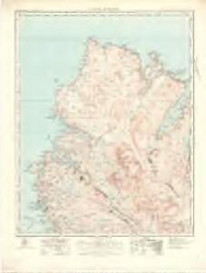
Cape Wrath (9) - OS One-Inch map
1 : 63360 Topographic maps Ordnance Survey Ordnance Survey
Cape Wrath (9) - OS One-Inch map
1 : 63360 Topographic maps Ordnance Survey Ordnance Survey
Cape Wrath - OS One-Inch Map
1 : 63360 Topographic maps Ordnance Survey Ordnance Survey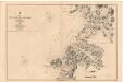
Lochs Laxford and Inchard with Scourie Bay.
Great Britain. Hydrographic Office
Sutherland, Sheet XII (with inset of sheet IVA) - OS 6 Inch map
1 : 10560 Topographic maps Ordnance Survey Ordnance Survey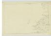
Sutherland, Sheet XXI - OS 6 Inch map
1 : 10560 Topographic maps Ordnance Survey Ordnance Survey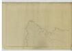
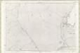
Sutherland, Sheet I - OS 6 Inch map
1 : 10560 Topographic maps Ordnance Survey Ordnance Survey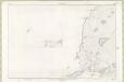
Sutherland Sheet XII (with inset IVa) - OS 6 Inch map
1 : 10560 Topographic maps Ordnance Survey Ordnance Survey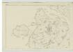
Sutherland, Sheet XXX - OS 6 Inch map
1 : 10560 Topographic maps Ordnance Survey Ordnance Survey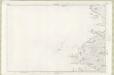
Sutherland Sheet XXI - OS 6 Inch map
1 : 10560 Topographic maps Ordnance Survey Ordnance Survey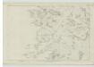
Sutherland, Sheet XXXIX - OS 6 Inch map
1 : 10560 Topographic maps Ordnance Survey Ordnance Survey
Sutherland Sheet I - OS 6 Inch map
1 : 10560 Topographic maps Ordnance Survey Ordnance Survey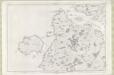
Sutherland Sheet XXX - OS 6 Inch map
1 : 10560 Topographic maps Ordnance Survey Ordnance Survey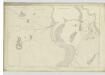
Sutherland, Sheet V - OS 6 Inch map
1 : 10560 Topographic maps Ordnance Survey Ordnance Survey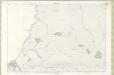
Sutherland Sheet IV - OS 6 Inch map
1 : 10560 Topographic maps Ordnance Survey Ordnance Survey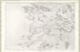
Sutherland Sheet XXXIX - OS 6 Inch map
1 : 10560 Topographic maps Ordnance Survey Ordnance Survey
Sutherland, Sheet II - OS 6 Inch map
1 : 10560 Topographic maps Ordnance Survey Ordnance Survey
Sutherland Sheet XIII - OS 6 Inch map
1 : 10560 Topographic maps Ordnance Survey Ordnance Survey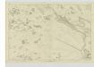
Sutherland, Sheet XL - OS 6 Inch map
1 : 10560 Topographic maps Ordnance Survey Ordnance Survey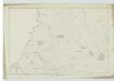
Sutherland, Sheet IV - OS 6 Inch map
1 : 10560 Topographic maps Ordnance Survey Ordnance Survey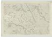
Sutherland, Sheet XXXI - OS 6 Inch map
1 : 10560 Topographic maps Ordnance Survey Ordnance Survey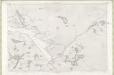
Sutherland Sheet XXII - OS 6 Inch map
1 : 10560 Topographic maps Ordnance Survey Ordnance Survey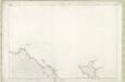
Sutherland Sheet II - OS 6 Inch map
1 : 10560 Topographic maps Ordnance Survey Ordnance Survey
Sutherland Sheet XXXI - OS 6 Inch map
1 : 10560 Topographic maps Ordnance Survey Ordnance Survey
Sutherland, Sheet XXXII - OS 6 Inch map
1 : 10560 Topographic maps Ordnance Survey Ordnance Survey
Sutherland Sheet V - OS 6 Inch map
1 : 10560 Topographic maps Ordnance Survey Ordnance Survey
Sutherland Sheet XL - OS 6 Inch map
1 : 10560 Topographic maps Ordnance Survey Ordnance Survey
Sutherland Sheet XIV - OS 6 Inch map
1 : 10560 Topographic maps Ordnance Survey Ordnance Survey
Sutherland, Sheet XIII - OS 6 Inch map
1 : 10560 Topographic maps Ordnance Survey Ordnance Survey