Mapa catalogado
Carmarthenshire XXVI.13 (includes: Llandeilo Fawr Rural; Llansadwrn; Talyllychau) - 25 Inch Map
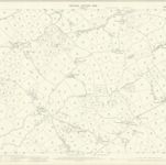

Título completo:Carmarthenshire XXVI.13 (includes: Llandeilo Fawr Rural; Llansadwrn; Talyllychau) - 25 Inch Map
Año de ilustración:1905
Fecha de publicación:1906
Editorial:Ordnance Survey
Tamaño físico:20 x 30 cm
Escala del mapa:1:2 500
Penbrochia comitatus et comitatus Caermaridvnvm
1646
Blaeu
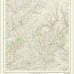
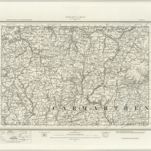
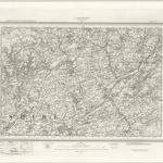
Llandovery - OS One-Inch Map
1948
Ordnance Survey
1:63k
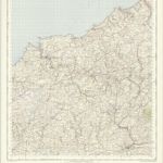
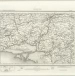
Cardigan - OS One-Inch Map
1957
Ordnance Survey
1:63k
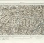
Newcastle Emlyn (Hills) - OS One-Inch Revised New Series
1897
Ordnance Survey
1:63k
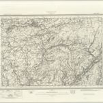
Newcastle Emlyn (Outline) - OS One-Inch Revised New Series
1897
Ordnance Survey
1:63k
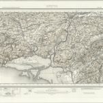
Carmarthen (Outline) - OS One-Inch Revised New Series
1897
Ordnance Survey
1:63k
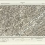
Carmarthen (Hills) - OS One-Inch Revised New Series
1897
Ordnance Survey
1:63k
Llandovery (Hills) - OS One-Inch Revised New Series
1897
Ordnance Survey
1:63k
Llandovery (Outline) - OS One-Inch Revised New Series
1897
Ordnance Survey
1:63k
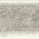
Ammanford (Hills) - OS One-Inch Revised New Series
1894
Ordnance Survey
1:63k
Ammanford (Outline) - OS One-Inch Revised New Series
1894
Ordnance Survey
1:63k