Cataloged map
Shropshire II.13 (includes: Whitchurch Rural; Whitchurch Urban; Wirswall) - 25 Inch Map
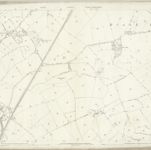

Full title:Shropshire II.13 (includes: Whitchurch Rural; Whitchurch Urban; Wirswall) - 25 Inch Map
Depicted:1874 - 1879
Pubdate:1892
Publisher:Ordnance Survey
Physical Size:20 x 30 cm
Map scale:1:2 500
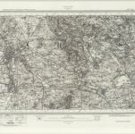
Chester (Hills) - OS One-Inch Revised New Series
1904
Ordnance Survey
1:63k
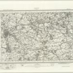
Chester (Outline) - OS One-Inch Revised New Series
1895
Ordnance Survey
1:63k
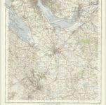
Chester - OS One-Inch Map
1948
Ordnance Survey
1:63k
Nantwich (Hills) - OS One-Inch Revised New Series
1895
Ordnance Survey
1:63k
Nantwich (Outline) - OS One-Inch Revised New Series
1895
Ordnance Survey
1:63k
Cheshire, Sheet 12 - Bartholomew's "Half Inch to the Mile Maps" of England & Wales
1902
Bartholomew, John George
1:127k
An accurate map of the county palatine of Chester
1765
Bowen; Hinton
Cestria comitatvs palatinvs
1690
Valck; Schenk
Cestria comitatvs palatinvs
1646
Blaeu
SJ37 - OS 1:25,000 Provisional Series Map
1938
Ordnance Survey
1:25k