Mappa catalogata
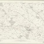
Staffordshire XXX.3 (includes: Hilderstone; Sandon; Stone Rural; Stone) - 25 Inch Map
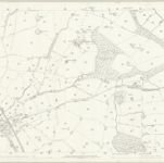

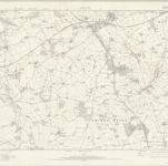
Titolo completo:Staffordshire XXX.3 (includes: Hilderstone; Sandon; Stone Rural; Stone) - 25 Inch Map
Anno di illustrazione:1879 - 1880
Data di pubblicazione:1881
Editore:Ordnance Survey
Dimensione fisica:20 x 30 cm
Scala della mappa:1:2 500

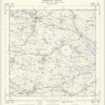
Stafford (Hills) - OS One-Inch Revised New Series
1898
Ordnance Survey
1:63k
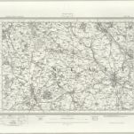
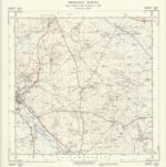
Stafford (Outline) - OS One-Inch Revised New Series
1898
Ordnance Survey
1:63k
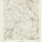
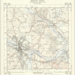
Stafford - OS One-Inch Map
1949
Ordnance Survey
1:63k
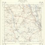
SJ83 - OS 1:25,000 Provisional Series Map
1937
Ordnance Survey
1:25k
SJ82 - OS 1:25,000 Provisional Series Map
1938
Ordnance Survey
1:25k
SJ93 - OS 1:25,000 Provisional Series Map
1938
Ordnance Survey
1:25k
SJ92 - OS 1:25,000 Provisional Series Map
1938
Ordnance Survey
1:25k
Staffordshire XXIX - OS Six-Inch Map
1921
Ordnance Survey
1:11k

Staffordshire XXXVI - OS Six-Inch Map
1912
Ordnance Survey
1:11k
Staffordshire XLIII - OS Six-Inch Map
1921
Ordnance Survey
1:11k