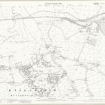
Mapa catalogado
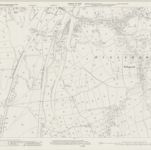
Derbyshire XIII.9 (includes: Beighton; Eckington; Killamarsh; Wales) - 25 Inch Map
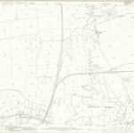

Título completo:Derbyshire XIII.9 (includes: Beighton; Eckington; Killamarsh; Wales) - 25 Inch Map
Año de ilustración:1875 - 1890
Fecha de publicación:1895
Editorial:Ordnance Survey
Tamaño físico:20 x 30 cm
Escala del mapa:1:2 500
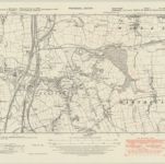
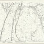
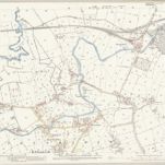
Derbyshire XIII.SW - OS Six-Inch Map
1947
Ordnance Survey
1:11k
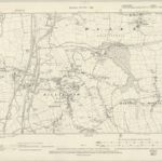
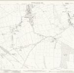
Derbyshire XIII.SW - OS Six-Inch Map
1896
Ordnance Survey
1:11k
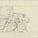
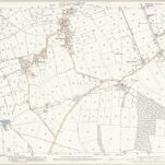
Derbyshire XIII.SW - OS Six-Inch Map
1875
Ordnance Survey
1:11k
Derbyshire XIII.13 (includes: Eckington; Killamarsh) - 25 Inch Map
1938
Ordnance Survey
1:3k
Derbyshire XIII.13 (includes: Eckington; Killamarsh) - 25 Inch Map
1914
Ordnance Survey
1:3k
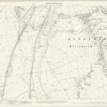
Derbyshire XIII.13 (includes: Eckington; Killamarsh) - 25 Inch Map
1897
Ordnance Survey
1:3k
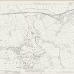
Yorkshire CCXCIX.8 (includes: Beighton; Harthill With Woodall; Killamarsh; Wales) - 25 Inch Map
1922
Ordnance Survey
1:3k
Yorkshire CCXCIX.8 (includes: Beighton; Harthill With Woodall; Killamarsh; Wales) - 25 Inch Map
1901
Ordnance Survey
1:3k
Yorkshire CCXCIX.8 (includes: Beighton; Harthill With Woodall; Killamarsh; Wales) - 25 Inch Map
1890
Ordnance Survey
1:3k
Yorkshire CCXCIX.12 (includes: Barlborough; Eckington; Harthill With Woodall; Killamarsh) - 25 Inch Map
1901
Ordnance Survey
1:3k
Yorkshire CCXCIX.12 (includes: Barlborough; Eckington; Harthill With Woodall; Killamarsh) - 25 Inch Map
1890
Ordnance Survey
1:3k