Cataloged map
Northamptonshire XLI.1 (includes: Covington; Dean and Shelton; Hargrave) - 25 Inch Map

Full title:Northamptonshire XLI.1 (includes: Covington; Dean and Shelton; Hargrave) - 25 Inch Map
Depicted:1899
Pubdate:1900
Publisher:Ordnance Survey
Physical Size:20 x 30 cm
Map scale:1:2 500
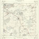
Kettering (Hills) - OS One-Inch Revised New Series
1897
Ordnance Survey
1:63k
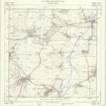
Kettering (Outline) - OS One-Inch Revised New Series
1897
Ordnance Survey
1:63k
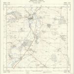
TL09 - OS 1:25,000 Provisional Series Map
1938
Ordnance Survey
1:25k
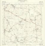
TL08 - OS 1:25,000 Provisional Series Map
1938
Ordnance Survey
1:25k
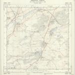
TL07 - OS 1:25,000 Provisional Series Map
1938
Ordnance Survey
1:25k
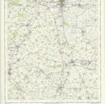
SP99 - OS 1:25,000 Provisional Series Map
1937
Ordnance Survey
1:25k
Huntingdon and Peterborough - OS One-Inch Map
1950
Ordnance Survey
1:63k
SP98 - OS 1:25,000 Provisional Series Map
1937
Ordnance Survey
1:25k
SP97 - OS 1:25,000 Provisional Series Map
1938
Ordnance Survey
1:25k
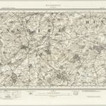
Wellingborough (Hills) - OS One-Inch Revised New Series
1897
Ordnance Survey
1:63k
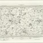
Wellingborough (Outline) - OS One-Inch Revised New Series
1897
Ordnance Survey
1:63k