Cataloged map
Somerset XLIII.8 (includes: Corsley; Selwood) - 25 Inch Map
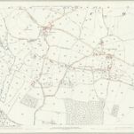

Full title:Somerset XLIII.8 (includes: Corsley; Selwood) - 25 Inch Map
Depicted:1885 - 1886
Pubdate:1888
Publisher:Ordnance Survey
Physical Size:20 x 30 cm
Map scale:1:2 500
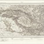
Wells (Hills) - OS One-Inch Revised New Series
1897
Ordnance Survey
1:63k
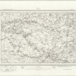
Wells (Outline) - OS One-Inch Revised New Series
1897
Ordnance Survey
1:63k
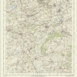
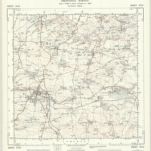
Frome - OS One-Inch Map
1955
Ordnance Survey
1:63k
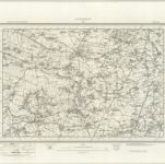
Glastonbury (Outline) - OS One-Inch Revised New Series
1897
Ordnance Survey
1:63k
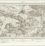
Glastonbury (Hills) - OS One-Inch Revised New Series
1897
Ordnance Survey
1:63k
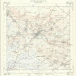
ST54 - OS 1:25,000 Provisional Series Map
1938
Ordnance Survey
1:25k
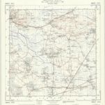
ST53 - OS 1:25,000 Provisional Series Map
1938
Ordnance Survey
1:25k
ST64 - OS 1:25,000 Provisional Series Map
1938
Ordnance Survey
1:25k
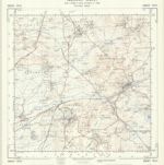
ST63 - OS 1:25,000 Provisional Series Map
1956
Ordnance Survey
1:25k
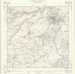
ST74 - OS 1:25,000 Provisional Series Map
1938
Ordnance Survey
1:25k