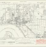
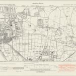
Cataloged map
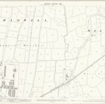
Essex (New Series 1913-) n XCV.8 (includes: Thurrock) - 25 Inch Map

Full title:Essex (New Series 1913-) n XCV.8 (includes: Thurrock) - 25 Inch Map
Depicted:1916
Pubdate:1920
Publisher:Ordnance Survey
Physical Size:20 x 30 cm
Map scale:1:2 500
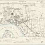
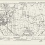
Essex (1st Ed/Rev 1862-96) LXXXIV.13 (includes: Thurrock) - 25 Inch Map
1895
Ordnance Survey
1:3k
Essex (New Series 1913-) n XCV.8 (includes: Thurrock) - 25 Inch Map
1916
Ordnance Survey
1:3k
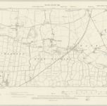
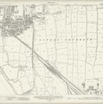
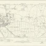
Essex LXXXIV.SW - OS Six-Inch Map
1895
Ordnance Survey
1:11k
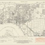
Kent IIIA.SW - OS Six-Inch Map
1947
Ordnance Survey
1:11k
Kent IIIA.SW - OS Six-Inch Map
1938
Ordnance Survey
1:11k
Kent IIIA.SW - OS Six-Inch Map
1907
Ordnance Survey
1:11k
Kent IIIA.SW - OS Six-Inch Map
1895
Ordnance Survey
1:11k
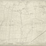
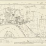
Essex (New Series 1913-) n XCV.7 (includes: Thurrock) - 25 Inch Map
1916
Ordnance Survey
1:3k
Essex nXCV.NE - OS Six-Inch Map
1938
Ordnance Survey
1:11k
Essex nXCV.NE - OS Six-Inch Map
1938
Ordnance Survey
1:11k
Essex nXCV.NE - OS Six-Inch Map
1916
Ordnance Survey
1:11k