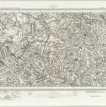
Mapa catalogado
Essex (New Series 1913-) n XII.7 (includes: Langley; Nuthampstead) - 25 Inch Map
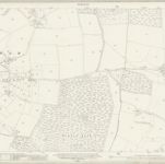

Título completo:Essex (New Series 1913-) n XII.7 (includes: Langley; Nuthampstead) - 25 Inch Map
Año de ilustración:1919
Fecha de publicación:1921
Editorial:Ordnance Survey
Tamaño físico:20 x 30 cm
Escala del mapa:1:2 500
A new improved map of Hartford Shire
1749
Kitchin; Hinton; Walker
A topographical map of Hartford-Shire
1790
Dury; Andrews
n/a
1742
Hertfordia comitatvs vernacule Hertfordshire
1646
Blaeu
Middelsexiæ cum Hertfordiæ comitatu
1690
Valck; Schenk
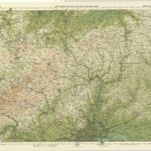
Bedford and Luton - OS One-Inch Map
1957
Ordnance Survey
1:63k
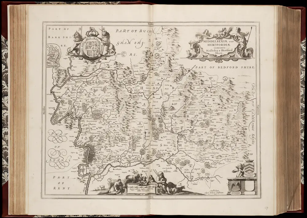
Middelsexiae cum Hertfordiae comitatu: = Midlesex & Hertford Shire / [Joannes Janssonius]
1646
Janssonius, Joannes (jr.) (1588-1664)
1:165k
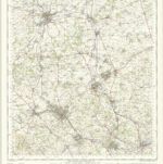
Bedford, Hertford, Sheet 25 - Bartholomew's "Half Inch to the Mile Maps" of England & Wales
1903
Bartholomew, John George
1:127k
Hitchin (Hills) - OS One-Inch Revised New Series
1902
Ordnance Survey
1:63k
Hitchin (Outline) - OS One-Inch Revised New Series
1893
Ordnance Survey
1:63k