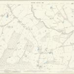
Carte cataloguée
Sussex XIX.15 (includes: Etchingham; Hawkhurst) - 25 Inch Map
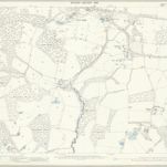

Titre complet:Sussex XIX.15 (includes: Etchingham; Hawkhurst) - 25 Inch Map
Année de l'image:1897
Date de publication:1898
Éditeur:Ordnance Survey
Taille physique:20 x 30 cm
Échelle de la carte:1:2 500
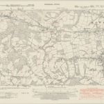
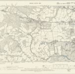
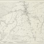
Kent LXXVIII.NW & SW - OS Six-Inch Map
1938
Ordnance Survey
1:11k
Kent LXXVIII.NW & SW - OS Six-Inch Map
1932
Ordnance Survey
1:11k
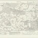
Kent LXXVIII.NW & SW - OS Six-Inch Map
1907
Ordnance Survey
1:11k
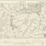
Kent LXXVIII.NW & SW - OS Six-Inch Map
1897
Ordnance Survey
1:11k
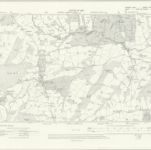
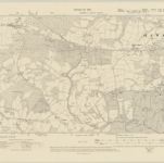
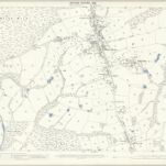
Sussex XXX.NE - OS Six-Inch Map
1908
Ordnance Survey
1:11k
Sussex XXX.NE - OS Six-Inch Map
1897
Ordnance Survey
1:11k
Sussex XXX.3 (includes: Etchingham; Hawkhurst; Salehurst) - 25 Inch Map
1908
Ordnance Survey
1:3k
Sussex XXX.3 (includes: Etchingham; Hawkhurst; Salehurst) - 25 Inch Map
1897
Ordnance Survey
1:3k
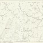
Sussex XXX.7 (includes: Etchingham; Salehurst) - 25 Inch Map
1908
Ordnance Survey
1:3k
Sussex XXX.7 (includes: Etchingham; Salehurst) - 25 Inch Map
1897
Ordnance Survey
1:3k