Cataloged map
Surrey XVII.9 (includes: Woking) - 25 Inch Map
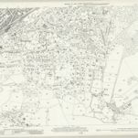

Full title:Surrey XVII.9 (includes: Woking) - 25 Inch Map
Depicted:1934
Pubdate:1936
Publisher:Ordnance Survey
Map scale:1:2 500
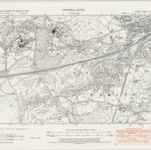
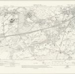
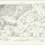
Surrey XVI.SE - OS Six-Inch Map
1938
Ordnance Survey
1:11k
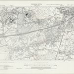
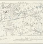
Surrey XVI.SE - OS Six-Inch Map
1938
Ordnance Survey
1:11k
Surrey XVI.SE - OS Six-Inch Map
1934
Ordnance Survey
1:11k
Surrey XVI.SE - OS Six-Inch Map
1913
Ordnance Survey
1:11k
Surrey XVI.SE - OS Six-Inch Map
1894
Ordnance Survey
1:11k
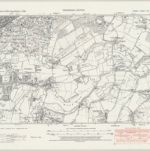
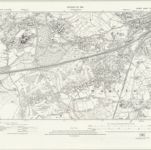
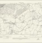
Surrey XVII.SW - OS Six-Inch Map
1938
Ordnance Survey
1:11k
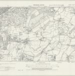
Surrey XVII.SW - OS Six-Inch Map
1938
Ordnance Survey
1:11k
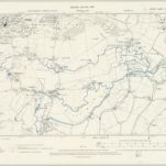
Surrey XVII.SW - OS Six-Inch Map
1934
Ordnance Survey
1:11k
Surrey XVII.SW - OS Six-Inch Map
1912
Ordnance Survey
1:11k
Surrey XVII.SW - OS Six-Inch Map
1894
Ordnance Survey
1:11k