Cataloged map
London (First Editions c1850s) XLIV (includes: Lambeth St Mary; Southwark) - 25 Inch Map
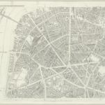

Full title:London (First Editions c1850s) XLIV (includes: Lambeth St Mary; Southwark) - 25 Inch Map
Depicted:1872
Pubdate:1879
Publisher:Ordnance Survey
Physical Size:20 x 30 cm
Map scale:1:2 500
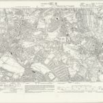
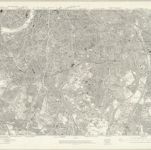
Surrey III.SW - OS Six-Inch Map
1893
Ordnance Survey
1:11k
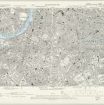
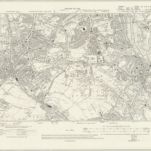
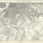
Surrey VIII.NW - OS Six-Inch Map
1893
Ordnance Survey
1:11k
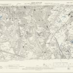
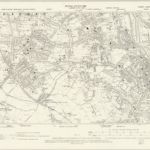
Surrey VIII.SW & SE - OS Six-Inch Map
1938
Ordnance Survey
1:11k
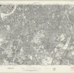
Surrey VIII.SW & SE - OS Six-Inch Map
1933
Ordnance Survey
1:11k
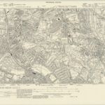
Surrey VIII.SW & SE - OS Six-Inch Map
1910
Ordnance Survey
1:11k
Surrey VIII.SW - OS Six-Inch Map
1893
Ordnance Survey
1:11k
An exact survey of the city's of London Westminster , VII
1761
John Rocque
London Sheet O - OS Six-Inch Map
1938
Ordnance Survey
1:11k
London Sheet O - OS Six-Inch Map
1913
Ordnance Survey
1:11k
Middlesex XXII - OS Six-Inch Map
1868
Ordnance Survey
1:11k