编目地图
Northumberland nXLVI - OS Six-Inch Map

完整标题:Northumberland nXLVI - OS Six-Inch Map
描述:1948
发布日期:1951
出版商:Ordnance Survey
物理尺寸:20 x 30 cm
地图比例尺:1:10 560
A new improved map of Northumberland
1750
Kitchin; Hinton
Comitatvs Northvmbria; vernacula Northvmberland
1646
Blaeu
Northumberland, North, Sheet 1 - Bartholomew's "Half Inch to the Mile Maps" of England & Wales
1903
Bartholomew, John George
1:127k
n/a
1742
Northumberland, South, Sheet 2 - Bartholomew's "Half Inch to the Mile Maps" of England & Wales
1902
Bartholomew, John George
1:127k
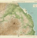
Alnwick - OS One-Inch Map
1952
Ordnance Survey
1:63k
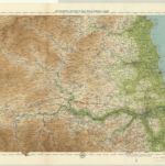
Hexham - OS One-Inch Map
1952
Ordnance Survey
1:63k

Cheviots - Bartholomew's 'Survey Atlas of Scotland'
1912
John Bartholomew & Son, Ltd
1:127k
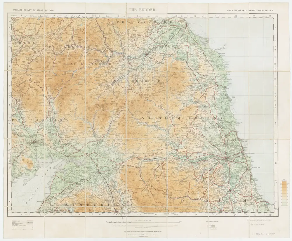
Sheet 1 The Border, uit: Maps of England & Wales : scale 4 miles to 1 inch / Ordnance Survey
1919
Ordnance Survey, United Kingdom
1:253k
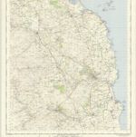
Jedburgh - OS One-Inch Map
1952
Ordnance Survey
1:63k