Mapa catalogado
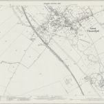
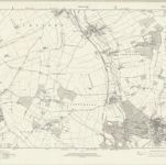
Essex nVII - OS Six-Inch Map

Título completo:Essex nVII - OS Six-Inch Map
Año de ilustración:1938
Fecha de publicación:1946
Editorial:Ordnance Survey
Tamaño físico:20 x 30 cm
Escala del mapa:1:10 560
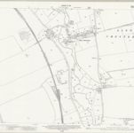
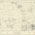
Essex (New Series 1913-) n VII.7 (includes: Little Chesterford; Littlebury) - 25 Inch Map
1919
Ordnance Survey
1:3k
Essex (New Series 1913-) n VII.3 (includes: Great Chesterford; Little Chesterford; Littlebury) - 25 Inch Map
1919
Ordnance Survey
1:3k
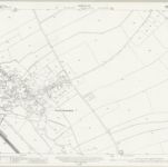
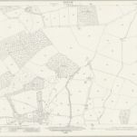
Essex III.SW - OS Six-Inch Map
1896
Ordnance Survey
1:11k
Essex (New Series 1913-) n VII.8 (includes: Little Chesterford; Saffron Walden) - 25 Inch Map
1919
Ordnance Survey
1:3k
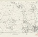
Cambridgeshire LIX.12 (includes: Great Chesterford; Ickleton; Little Chesterford; Littlebury; Strethall) - 25 Inch Map
1901
Ordnance Survey
1:3k
Essex (New Series 1913-) n VII.4 (includes: Great Chesterford; Little Chesterford; Saffron Walden) - 25 Inch Map
1919
Ordnance Survey
1:3k
Essex nVII - OS Six-Inch Map
1946
Ordnance Survey
1:11k
Essex nVII - OS Six-Inch Map
1938
Ordnance Survey
1:11k
Essex nVII - OS Six-Inch Map
1919
Ordnance Survey
1:11k

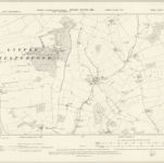
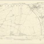
Cambridgeshire LIX.SE - OS Six-Inch Map
1946
Ordnance Survey
1:11k
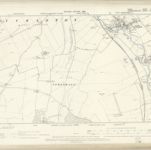
Cambridgeshire LIX.SE - OS Six-Inch Map
1901
Ordnance Survey
1:11k
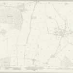
Essex II.SE - OS Six-Inch Map
1896
Ordnance Survey
1:11k
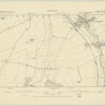
Cambridgeshire LIX.SE - OS Six-Inch Map
1877
Ordnance Survey
1:11k