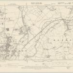
Cataloged map
Essex XL - OS Six-Inch Map
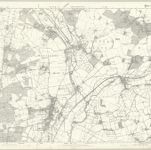

Full title:Essex XL - OS Six-Inch Map
Depicted:1873
Pubdate:1880
Publisher:Ordnance Survey
Physical Size:20 x 30 cm
Map scale:1:10 560
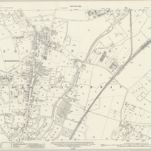
Essex (New Series 1913-) n LI.5 (includes: Hoddesdon) - 25 Inch Map
1915
Ordnance Survey
1:3k
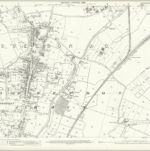
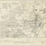
Hertfordshire XXXVII.5 (includes: Hoddesdon; Roydon; Stanstead Abbots) - 25 Inch Map
1896
Ordnance Survey
1:3k
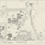
Hertfordshire XXXVII.1 (includes: Great Amwell; Hoddesdon; Stanstead Abbots; Stanstead St Margaret) - 25 Inch Map
1939
Ordnance Survey
1:3k
Hertfordshire XXXVII.1 (includes: Great Amwell; Hoddesdon; Stanstead Abbots; Stanstead St Margaret) - 25 Inch Map
1915
Ordnance Survey
1:3k
Hertfordshire XXXVII.1 (includes: Great Amwell; Hoddesdon; Stanstead Abbots; Stanstead St Margaret) - 25 Inch Map
1896
Ordnance Survey
1:3k
Essex nLI.NW - OS Six-Inch Map
1938
Ordnance Survey
1:11k
Essex nLI.NW - OS Six-Inch Map
1915
Ordnance Survey
1:11k
Hertfordshire XXXVII.NW - OS Six-Inch Map
1895
Ordnance Survey
1:11k
Essex XL.SW - OS Six-Inch Map
1895
Ordnance Survey
1:11k
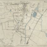
Essex (1st Ed/Rev 1862-96) XL.14 (includes: Hoddesdon) - 25 Inch Map
1895
Ordnance Survey
1:3k