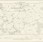
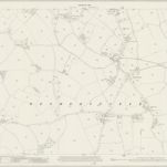
Carte cataloguée
Essex XVI - OS Six-Inch Map

Titre complet:Essex XVI - OS Six-Inch Map
Année de l'image:1876
Date de publication:1881
Éditeur:Ordnance Survey
Taille physique:20 x 30 cm
Échelle de la carte:1:10 560
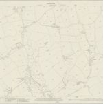
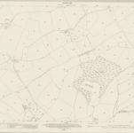
Essex XVI.SW - OS Six-Inch Map
1896
Ordnance Survey
1:11k
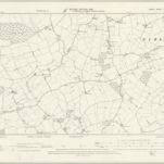
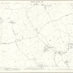
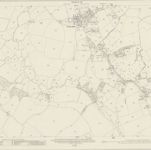
Essex XVI.NW - OS Six-Inch Map
1896
Ordnance Survey
1:11k
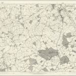
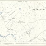
Essex XVI - OS Six-Inch Map
1876
Ordnance Survey
1:11k
Essex (New Series 1913-) n XV.16 (includes: Sible Hedingham; Toppesfield; Wethersfield) - 25 Inch Map
1919
Ordnance Survey
1:3k
Essex (New Series 1913-) n XXV.4 (includes: Wethersfield) - 25 Inch Map
1919
Ordnance Survey
1:3k
Essex (New Series 1913-) n XXV.8 (includes: Shalford; Wethersfield) - 25 Inch Map
1919
Ordnance Survey
1:3k
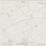
Essex (1st Ed/Rev 1862-96) XVI.5 (includes: Wethersfield) - 25 Inch Map
1896
Ordnance Survey
1:3k
Essex (1st Ed/Rev 1862-96) XVI.9 (includes: Shalford; Wethersfield) - 25 Inch Map
1896
Ordnance Survey
1:3k
Essex (New Series 1913-) n XV.15 (includes: Finchingfield; Wethersfield) - 25 Inch Map
1919
Ordnance Survey
1:3k
Essex (New Series 1913-) n XXV.3 (includes: Finchingfield; Shalford; Wethersfield) - 25 Inch Map
1919
Ordnance Survey
1:3k